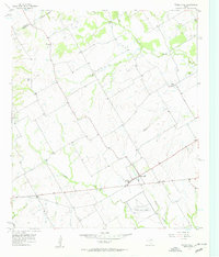
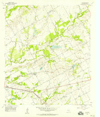
1957 Map of Prairie Hill
USGS Topo · Published 1957About this map
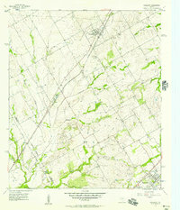
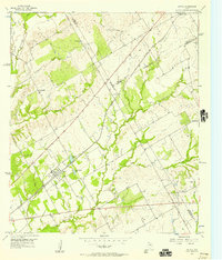
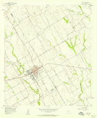
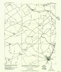
The Navasota River and its network of tributaries, including Christmas Creek and Mustang Creek, shape the rural landscape of Limestone County in this mid-century survey. The community of Prairie Hill serves as a local hub, featuring a High Sch and a nearby Substation along Route 84. The presence of the Prairie Hill Air Force Auxiliary Airfield south of the main settlement reflects the military aviation infrastructure of the Cold War era, while the surrounding countryside remains dominated by farm-to-market roads and small, dispersed settlements like Watt and Delia.
Find a feature on this map
26 named features on this map. Tap any name to fly to it.
Don’t see what you’re looking for? This feature index may not catch every label — zoom into the map to look around manually.
Map Details
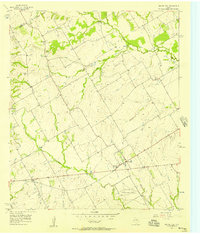
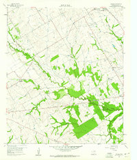
Editions of this 1957 Prairie Hill Map
2 editions found
Other maps of this area
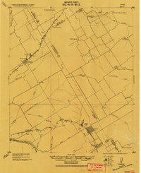
1920 · Mart
USGS Topo · 1:62,500

1954 · Waco
USGS Topo · 1:250,000

1955 · Waco
USGS Topo · 1:250,000
1956 · Hubbard
USGS Topo · 1:24,000
1956 · Penelope
USGS Topo · 1:24,000
1956 · Axtell
USGS Topo · 1:24,000
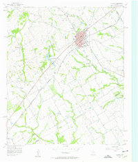
1956 · Mart
USGS Topo · 1:24,000
1957 · Groesbeck
USGS Topo · 1:62,500
1957 · Elk
USGS Topo · 1:24,000
1960 · Echols
USGS Topo · 1:24,000