1957 Map of Prairie Hill
USGS Topo · Published 1957About this map
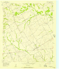
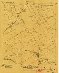
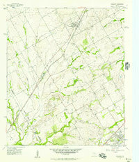
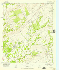
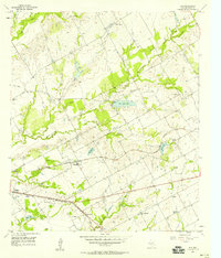
Prairie Hill and its surrounding rural landscapes in Limestone Co are defined by a network of creeks and small settlements during the late 1950s. The prominent Prairie Hill Air Force Auxiliary Airfield occupies a large tract south of the main settlement, reflecting the military infrastructure present in the region during this era. Social centers of the community are found at the Mt Antioch Ch and the local High Sch, while the agricultural character is shaped by the winding courses of the Navasota River and Christmas Creek.
Find a feature on this map
27 named features on this map. Tap any name to fly to it.
Don’t see what you’re looking for? This feature index may not catch every label — zoom into the map to look around manually.
Map Details
Editions of this 1957 Prairie Hill Map
2 editions found
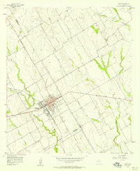
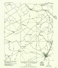
Other maps of this area
1920 · Mart
USGS Topo · 1:62,500

1954 · Waco
USGS Topo · 1:250,000

1955 · Waco
USGS Topo · 1:250,000
1956 · Hubbard
USGS Topo · 1:24,000
1956 · Penelope
USGS Topo · 1:24,000
1956 · Axtell
USGS Topo · 1:24,000
1956 · Mart
USGS Topo · 1:24,000
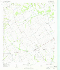
1957 · Prairie Hill
USGS Topo · 1:24,000
1957 · Groesbeck
USGS Topo · 1:62,500
1957 · Elk
USGS Topo · 1:24,000