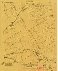
1956 Map of Mart
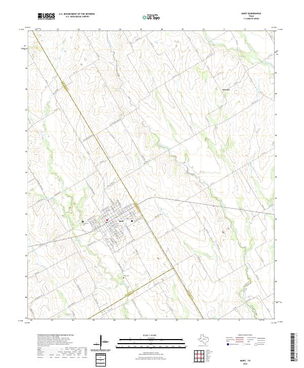
USGS Topo · Published 1958About this map
The town of Mart serves as the focal point of this Central Texas landscape, situated at the junction of the Missouri Pacific railroad and several regional thoroughfares including Texas Ave. This mid-century survey illustrates a community defined by its agrarian roots and the convergence of three counties: McLennan, Limestone, and Falls. The residential grid of Mart is clearly defined, featuring local landmarks such as a Stadium and a central water tower. Outside the town limits, the terrain is shaped by a dense network of waterways, most notably Big Creek, Cottonwood Creek, and Hoppen Creek. Genealogists and local historians can locate specific sites of community importance, such as Anderson Sch, Evergreen Cem, and Mart Cem. The smaller settlement of Victoria appears in the northeast, connected by rural routes that cross the numerous branches and creeks feeding into the larger local basins.
Find a feature on this map
23 named features on this map. Tap any name to fly to it.
Don’t see what you’re looking for? This feature index may not catch every label — zoom into the map to look around manually.
Map Details
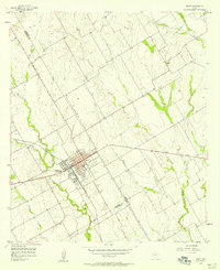
Editions of this 1956 Mart Map
2 editions found
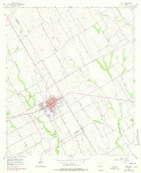
Historical Maps of Mart Through Time
7 maps found