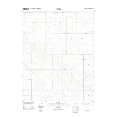
2013 Map of Hubbard Lake
USGS Topo · Published 2013About this map
Adobe Creek defines the lower drainage patterns of this high plains landscape in eastern Colorado. The terrain is characterized by a precise grid of rural corridors including CO Road S, CO Road R, and CO Road 35, reflecting the systematic agricultural partitioning of the region. This 2013 survey illustrates the sparse, sprawling nature of modern land management in Lincoln County, where wide-open spaces are punctuated only by seasonal watercourses and a strict network of local connectors. The lack of concentrated settlements or industrial markers highlights the area's continued dedication to large-scale ranching or dryland farming operations into the twenty-first century.
Find a feature on this map
1 named feature on this map. Tap any name to fly to it.
Don’t see what you’re looking for? This feature index may not catch every label — zoom into the map to look around manually.
Map Details
Editions of this 2013 Hubbard Lake Map
This is the sole edition of this map. No revisions or reprints were ever made.
Other maps of this area

1889 · Sanborn
USGS Topo · 1:125,000

1891 · Sanborn
USGS Topo · 1:125,000

1891 · Arroyo
USGS Topo · 1:125,000

1893 · Arroyo
USGS Topo · 1:125,000

1893 · Sanborn
USGS Topo · 1:125,000

1954 · Lamar
USGS Topo · 1:250,000

1958 · Lamar
USGS Topo · 1:250,000

1975 · Stanley Gulch
USGS Topo · 1:24,000

1978 · Barrel Springs Draw
USGS Topo · 1:24,000
1978 · Metz Springs
USGS Topo · 1:24,000