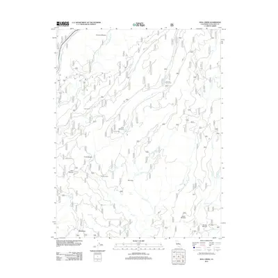
2012 Map of Hull Creek
USGS Topo · Published 2012About this map
North Fork Tuolumne River and the Clavey River drain this high-elevation landscape, where a network of forest camps and seasonal meadows define the human geography. Named for family and local historical figures, landmarks like Faust Cabin, Fahey Cabin, and Lee Price Camp are scattered throughout the drainage basins of Hull Creek and Twomile Creek. The southern portion of the map centers on Deadwood and the large Rosasco Meadow near Camp Niagara, illustrating a long history of cattle grazing and timber activity. This area is characterized by numerous natural water sources, including Milk Ranch Spring, Wet Meadows Springs, and Sam Williams Spring, which likely supported early ranching and forestry operations. The density of named meadows such as Funks Meadow and Wolfin Meadow suggests a landscape historically utilized for summer pasturing and backcountry recreation.
Find a feature on this map
43 named features on this map. Tap any name to fly to it.
Don’t see what you’re looking for? This feature index may not catch every label — zoom into the map to look around manually.
Map Details
Editions of this 2012 Hull Creek Map
This is the sole edition of this map. No revisions or reprints were ever made.
Other maps of this area

1891 · Big Trees
USGS Topo · 1:125,000

1893 · Sonora
USGS Topo · 1:125,000

1894 · Big Trees
USGS Topo · 1:125,000

1896 · Dardanelles
USGS Topo · 1:125,000

1896 · Sonora
USGS Topo · 1:125,000

1897 · Sonora
USGS Topo · 1:125,000

1897 · Big Trees
USGS Topo · 1:125,000

1897 · Yosemite
USGS Topo · 1:125,000

1898 · Dardanelles
USGS Topo · 1:125,000

1898 · Sonora
USGS Topo · 1:125,000