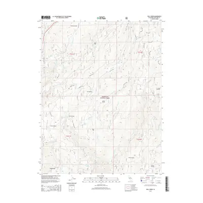
2015 Map of Hull Creek
USGS Topo · Published 2015About this map
Stanislaus National Forest landscape within the Sierra Nevada is defined by its network of high-elevation meadows and mountain drainage systems. This 2015 record details a complex terrain of hydrologic features, where Hull Creek and the Clavey River cut through the granite slopes of Tuolumne County. Small settlements and specialized landmarks like Deadwood and Dodge Ridge are connected by a sparse grid of forest service roads including Forest Rte 3N01 and Forest Rte 2N01.
Find a feature on this map
54 named features on this map. Tap any name to fly to it.
Don’t see what you’re looking for? This feature index may not catch every label — zoom into the map to look around manually.
Map Details
Editions of this 2015 Hull Creek Map
This is the sole edition of this map. No revisions or reprints were ever made.
Other maps of this area

1891 · Big Trees
USGS Topo · 1:125,000

1893 · Sonora
USGS Topo · 1:125,000

1894 · Big Trees
USGS Topo · 1:125,000

1896 · Dardanelles
USGS Topo · 1:125,000

1896 · Sonora
USGS Topo · 1:125,000

1897 · Sonora
USGS Topo · 1:125,000

1897 · Big Trees
USGS Topo · 1:125,000

1897 · Yosemite
USGS Topo · 1:125,000

1898 · Dardanelles
USGS Topo · 1:125,000

1898 · Sonora
USGS Topo · 1:125,000