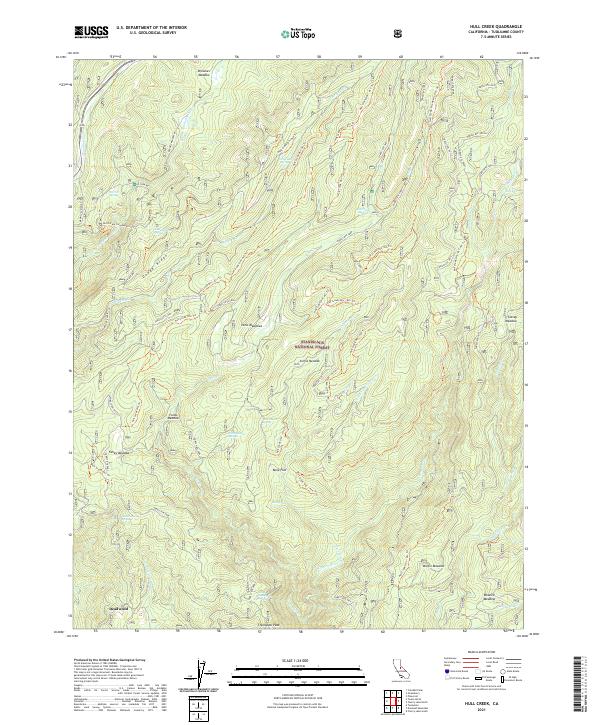
2021 Map of Hull Creek
USGS Topo · Published 2021About this map
Stanislaus National Forest serves as the backdrop for this high-altitude landscape in the Sierra Nevada, where the headwaters of the North Fork Tuolumne River and the Clavey River carve through the terrain. The map is defined by a dense network of specialized trails, including the Hull Creek Ohv Trl and various 4x4 and ATV routes that crisscross the slopes near Dodge Ridge.
Find a feature on this map
64 named features on this map. Tap any name to fly to it.
Don’t see what you’re looking for? This feature index may not catch every label — zoom into the map to look around manually.
Map Details
Editions of this 2021 Hull Creek Map
This is the sole edition of this map. No revisions or reprints were ever made.
Other maps of this area

1891 · Big Trees
USGS Topo · 1:125,000

1893 · Sonora
USGS Topo · 1:125,000

1894 · Big Trees
USGS Topo · 1:125,000

1896 · Dardanelles
USGS Topo · 1:125,000

1896 · Sonora
USGS Topo · 1:125,000

1897 · Sonora
USGS Topo · 1:125,000

1897 · Big Trees
USGS Topo · 1:125,000

1897 · Yosemite
USGS Topo · 1:125,000

1898 · Dardanelles
USGS Topo · 1:125,000

1898 · Sonora
USGS Topo · 1:125,000