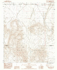
1985 Map of Humbug Mountain
USGS Topo · Published 1985About this map
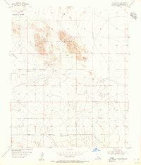
Mining operations dominate the landscape of the Humbug Mountain and Pinto Mountains area in this mid-1980s topographical study. The map documents a significant history of extraction across the San Bernardino and Riverside county line, where complex topography is punctuated by numerous named claims. Researchers can find specific locations such as the Imperial Mine, Gypsy Mine, and Golden Eagle Mine. Traces of previous habitation and industry are evident at the Ruins Old Mill Site and scattered Ruins near the Joel Mine. The settlements of Old Dale and New Dale anchor the northern portion of the quadrangle, reflecting the shifting centers of local activity. A Radio Facility in the northeast corner highlights the modernization of this arid mountain terrain during the latter half of the twentieth century.
Find a feature on this map
15 named features on this map. Tap any name to fly to it.
Don’t see what you’re looking for? This feature index may not catch every label — zoom into the map to look around manually.
Map Details
Editions of this 1985 Humbug Mountain Map
This is the sole edition of this map. No revisions or reprints were ever made.
Other maps of this area

1942 · Amboy
USGS Topo · 1:250,000

1943 · Amboy
USGS Topo · 1:250,000
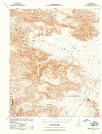
1943 · Pinkham Well
USGS Topo · 1:62,500
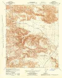
1944 · Pinkham Well
USGS Topo · 1:62,500
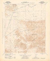
1944 · Eagle Tank
USGS Topo · 1:62,500

1954 · Salton Sea
USGS Topo · 1:250,000

1954 · Needles
USGS Topo · 1:250,000
1954 · Valley Mtn
USGS Topo · 1:24,000

1955 · Salton Sea
USGS Topo · 1:250,000

1956 · Needles
USGS Topo · 1:250,000