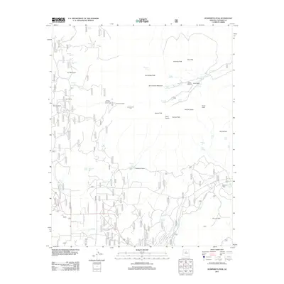
2011 Map of Humphreys Peak
USGS Topo · Published 2011About this map
San Francisco Mountain dominates this high-altitude landscape, rising to the iconic summit of Humphreys Peak. This modern topographic survey details the intricate network of peaks and saddles that form the volcanic massif, including Agassiz Peak, Fremont Peak, and Doyle Peak. The map highlights the recreational and ecological diversity of the area, from the active Snowbowl Ski Area and Arizona Snow Bowl Campground to the expansive grassy reaches of Hart Prairie.
Find a feature on this map
66 named features on this map. Tap any name to fly to it.
Don’t see what you’re looking for? This feature index may not catch every label — zoom into the map to look around manually.
Map Details
Editions of this 2011 Humphreys Peak Map
This is the sole edition of this map. No revisions or reprints were ever made.
Other maps of this area

1886 · San Francisco Mtns
USGS Topo · 1:250,000

1891 · San Francisco Mtns
USGS Topo · 1:250,000

1894 · San Francisco Mtns
USGS Topo · 1:250,000

1899 · San Francisco Mtns
USGS Topo · 1:250,000

1908 · Flagstaff
USGS Topo · 1:125,000

1912 · Flagstaff
USGS Topo · 1:125,000

1947 · Flagstaff
USGS Topo · 1:250,000

1954 · Flagstaff
USGS Topo · 1:250,000

1958 · Flagstaff
USGS Topo · 1:250,000

1960 · Flagstaff
USGS Topo · 1:250,000