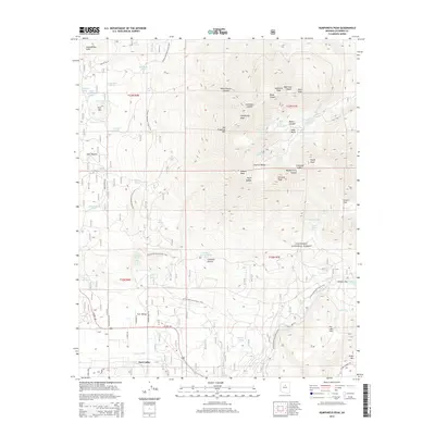
2014 Map of Humphreys Peak
USGS Topo · Published 2014About this map
Fort Valley serves as the primary settlement hub at the base of the volcanic San Francisco Peaks within the Coconino National Forest. The landscape is dominated by the high-altitude volcanic massif, including Humphreys Peak, Agassiz Peak, and Fremont Peak, which form a dramatic cirque around the Interior Valley. This survey captures the complex drainage and water collection patterns of the area, featuring numerous named water sources such as Leroux Spring, Beard Spring, and Bismarck Lake that were historically vital for livestock and early ranching. The Arizona National Scenic Trail winds through the varied terrain, connecting Hart Prairie to the slopes of San Francisco Mtn. Lower elevations like Freidlein Prairie contrast with the rugged peaks and canyons, illustrating the transition from open meadow to high-alpine environments near Dry Lake Hills.
Find a feature on this map
68 named features on this map. Tap any name to fly to it.
Don’t see what you’re looking for? This feature index may not catch every label — zoom into the map to look around manually.
Map Details
Editions of this 2014 Humphreys Peak Map
This is the sole edition of this map. No revisions or reprints were ever made.
Other maps of this area

1886 · San Francisco Mtns
USGS Topo · 1:250,000

1891 · San Francisco Mtns
USGS Topo · 1:250,000

1894 · San Francisco Mtns
USGS Topo · 1:250,000

1899 · San Francisco Mtns
USGS Topo · 1:250,000

1908 · Flagstaff
USGS Topo · 1:125,000

1912 · Flagstaff
USGS Topo · 1:125,000

1947 · Flagstaff
USGS Topo · 1:250,000

1954 · Flagstaff
USGS Topo · 1:250,000

1958 · Flagstaff
USGS Topo · 1:250,000

1960 · Flagstaff
USGS Topo · 1:250,000