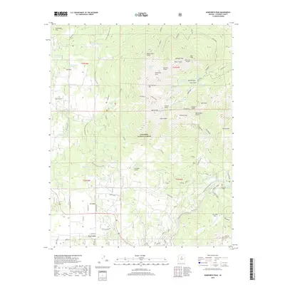
2018 Map of Humphreys Peak
USGS Topo · Published 2018About this map
Humphreys Peak and the surrounding high-altitude terrain of the Coconino National Forest dominate this landscape, showcasing the volcanic peaks of northern Arizona. The map highlights the intersection of high mountain hydrology and human transit, with numerous water sources like Bismarck Lake and Little Leroux Spring supporting the region. The settlement of Fort Valley sits at the base of these heights, where the headwaters of the Rio de Flag begin their course through the meadows.
Find a feature on this map
87 named features on this map. Tap any name to fly to it.
Don’t see what you’re looking for? This feature index may not catch every label — zoom into the map to look around manually.
Map Details
Editions of this 2018 Humphreys Peak Map
This is the sole edition of this map. No revisions or reprints were ever made.
Other maps of this area

1886 · San Francisco Mtns
USGS Topo · 1:250,000

1891 · San Francisco Mtns
USGS Topo · 1:250,000

1894 · San Francisco Mtns
USGS Topo · 1:250,000

1899 · San Francisco Mtns
USGS Topo · 1:250,000

1908 · Flagstaff
USGS Topo · 1:125,000

1912 · Flagstaff
USGS Topo · 1:125,000

1947 · Flagstaff
USGS Topo · 1:250,000

1954 · Flagstaff
USGS Topo · 1:250,000

1958 · Flagstaff
USGS Topo · 1:250,000

1960 · Flagstaff
USGS Topo · 1:250,000