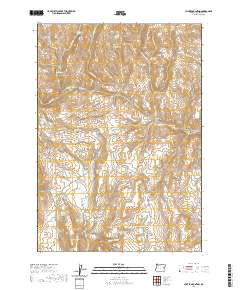
2020 Map of Hunter Mountain
USGS Topo · Published 2020About this map
Hunter Mtn and Bendire Mtn anchor this high-elevation landscape in eastern Malheur County, where a network of seasonal springs and strategic water management define the terrain. The presence of Hunter Ditch and numerous catchments like Kitten Canyon Reservoir and Big Flat Reservoir illustrates the critical role of water infrastructure in this arid environment. The map details a complex drainage system, from the headwaters of Godding Cr and N Bully Cr to the deep incisions of Baker City Canyon. Named landmarks such as Steamboat Rock and the broad Beaver Dam Flat serve as essential orientation points. Notable springs with evocative names like Schoolmarm Spring and Honeymoon Cr suggest a history of human activity and cattle ranching across these ridges and basins.
Find a feature on this map
48 named features on this map. Tap any name to fly to it.
Don’t see what you’re looking for? This feature index may not catch every label — zoom into the map to look around manually.
Map Details
Editions of this 2020 Hunter Mountain Map
This is the sole edition of this map. No revisions or reprints were ever made.
Other maps of this area

1908 · Ironside Mountain
USGS Topo · 1:125,000

1955 · Baker
USGS Topo · 1:250,000

1955 · Burns
USGS Topo · 1:250,000

1955 · Canyon City
USGS Topo · 1:250,000

1955 · Boise
USGS Topo · 1:250,000

1958 · Burns
USGS Topo · 1:250,000

1958 · Boise
USGS Topo · 1:250,000

1959 · Baker
USGS Topo · 1:250,000

1959 · Burns
USGS Topo · 1:250,000

1959 · Canyon City
USGS Topo · 1:250,000