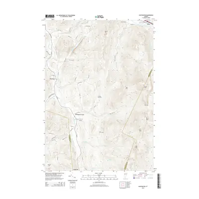
2015 Map of Huntington
USGS Topo · Published 2015About this map
The Huntington River corridor anchors this portion of the Green Mountains, flowing northward through the valley settlements of Hanksville, Huntington Center, and Huntington. This area is defined by sharp topographic relief, dominated by the iconic peak of Camels Hump and the high ridges of Mt Ethan Allen and Mt Ira Allen along the eastern boundary. The map illustrates a landscape where human habitation follows the river valley and its lower tributaries, such as Brush Brook and Cobb Brook, while the high elevations remain largely undeveloped.
Find a feature on this map
64 named features on this map. Tap any name to fly to it.
Don’t see what you’re looking for? This feature index may not catch every label — zoom into the map to look around manually.
Map Details
Editions of this 2015 Huntington Map
This is the sole edition of this map. No revisions or reprints were ever made.
Other maps of this area

1903 · Middlebury
USGS Topo · 1:62,500

1905 · Middlebury
USGS Topo · 1:62,500

1906 · Burlington
USGS Topo · 1:62,500

1919 · Burlington
USGS Topo · 1:62,500

1919 · Lincoln Mountain
USGS Topo · 1:62,500

1920 · Lincoln Mountain
USGS Topo · 1:48,000

1920 · Middlebury
USGS Topo · 1:62,500

1921 · Richmond
USGS Topo · 1:48,000

1921 · Lincoln Mountain
USGS Topo · 1:62,500

1924 · Camels Hump
USGS Topo · 1:62,500