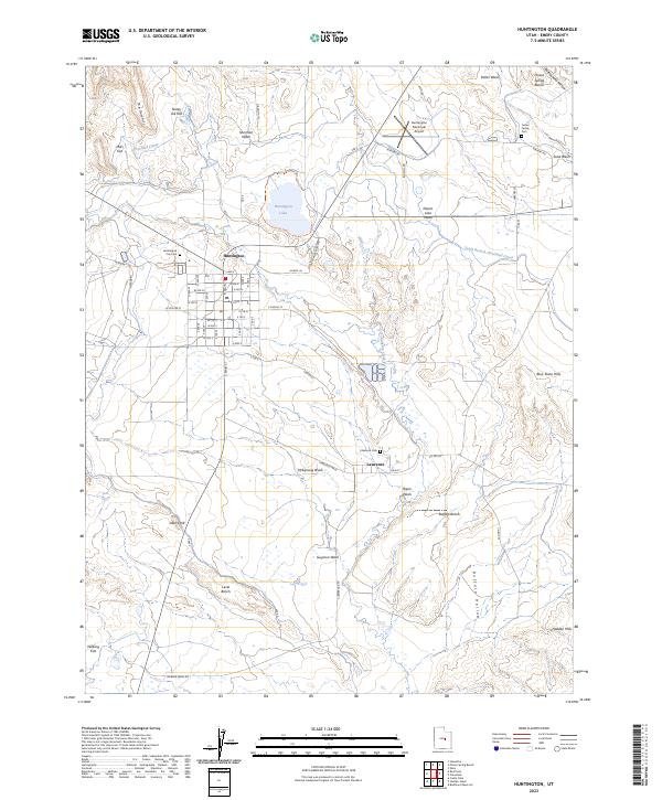
2023 Map of Huntington
USGS Topo · Published 2023About this map
The town of Huntington serves as the primary hub in this Utah landscape, where an intricate grid of streets meets the essential irrigation infrastructure of the Cleveland Canal. The map reveals a high-desert environment defined by the management of water, with the South Branch-Cleveland Canal and North Ditch feeding the area near Huntington Lake. To the south, the smaller settlement of Lawrence sits along the banks of Huntington Creek, surrounded by a series of geographic benches and washes such as McElprang Wash and Guymon Wash. Genealogists and local researchers can locate three distinct burial sites: the Huntington City Cem, Lawrence Cem, and the small Tucker Family Cem to the northeast. The terrain is marked by distinctive local landmarks including The Gumhill, Poison Spring Bench, and the Blue Slate Hills, illustrating the varied topography that borders the local aviation hub at Huntington Municipal Airport.
Find a feature on this map
73 named features on this map. Tap any name to fly to it.
Don’t see what you’re looking for? This feature index may not catch every label — zoom into the map to look around manually.
Map Details
Editions of this 2023 Huntington Map
This is the sole edition of this map. No revisions or reprints were ever made.
Other maps of this area

1885 · Manti
USGS Topo · 1:250,000

1886 · Price River
USGS Topo · 1:250,000

1895 · Manti
USGS Topo · 1:250,000

1896 · Price River
USGS Topo · 1:250,000

1923 · Castle Dale
USGS Topo · 1:62,500

1923 · Hiawatha
USGS Topo · 1:62,500

1925 · Castle Dale
USGS Topo · 1:62,500

1925 · Hiawatha
USGS Topo · 1:62,500

1956 · Price
USGS Topo · 1:250,000

1960 · Price
USGS Topo · 1:250,000