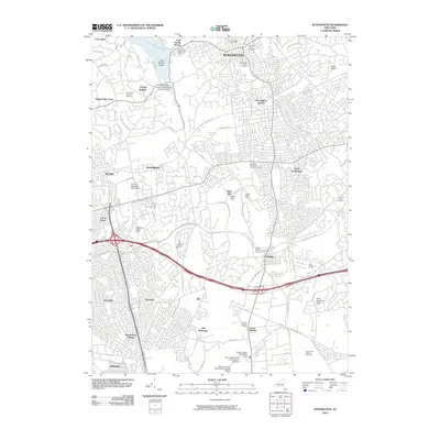
2010 Map of Huntington
USGS Topo · Published 2010About this map
Cold Spring Harbor and the northern shoreline of Long Island's Gold Coast define the upper reaches of this 2010 survey. The landscape transitions from the protected waters of Oyster Bay and Cove Neck into the densely settled residential and commercial corridors of Huntington and Huntington Station. This edition captures the established suburban character of the early 21st century, where large educational and research campuses like Farmingdale State University of New York and the Broad Hollow Bioscience Park occupy the southern landscape near Bethpage.
Find a feature on this map
79 named features on this map. Tap any name to fly to it.
Don’t see what you’re looking for? This feature index may not catch every label — zoom into the map to look around manually.
Map Details
Editions of this 2010 Huntington Map
This is the sole edition of this map. No revisions or reprints were ever made.
Other maps of this area

1897 · Hempstead
USGS Topo · 1:62,500

1897 · Oyster Bay
USGS Topo · 1:62,500

1898 · Hempstead
USGS Topo · 1:62,500

1898 · Oyster Bay
USGS Topo · 1:62,500

1899 · Hempstead
USGS Topo · 1:62,500

1900 · Oyster Bay
USGS Topo · 1:62,500

1901 · Babylon
USGS Topo · 1:62,500

1901 · Northport
USGS Topo · 1:62,500

1903 · Babylon
USGS Topo · 1:62,500

1903 · Northport
USGS Topo · 1:62,500