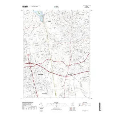
2019 Map of Huntington
USGS Topo · Published 2019About this map
Cold Spring Harbor and the Inner Harbor define the northern shoreline of this Long Island landscape, where the boundary between Nassau and Suffolk counties bisects the terrain. The area reflects a dense suburban development pattern interspersed with significant historical and educational institutions, including Farmingdale State College and Briarcliffe College. High ground is marked by the Mannetto Hills and High Hill, while the residential corridors of Huntington Station and South Huntington are interconnected by a complex road network and the Long Island railroad line. Local history is preserved in numerous consecrated spaces, from the historic Old Burial Hill Cem near the coast to the expansive Pinelawn Cem further south. Public lands like Stillwell Woods provide a counterpoint to the intensely developed commerce centers of Melville and Plainview.
Find a feature on this map
472 named features on this map. Tap any name to fly to it.
Don’t see what you’re looking for? This feature index may not catch every label — zoom into the map to look around manually.
Map Details
Editions of this 2019 Huntington Map
This is the sole edition of this map. No revisions or reprints were ever made.
Other maps of this area

1897 · Hempstead
USGS Topo · 1:62,500

1897 · Oyster Bay
USGS Topo · 1:62,500

1898 · Hempstead
USGS Topo · 1:62,500

1898 · Oyster Bay
USGS Topo · 1:62,500

1899 · Hempstead
USGS Topo · 1:62,500

1900 · Oyster Bay
USGS Topo · 1:62,500

1901 · Babylon
USGS Topo · 1:62,500

1901 · Northport
USGS Topo · 1:62,500

1903 · Babylon
USGS Topo · 1:62,500

1903 · Northport
USGS Topo · 1:62,500