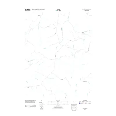
2013 Map of Huntley
USGS Topo · Published 2013About this map
The settlement of Huntley sits at a crossroads in this 2013 survey of the Pennsylvania wilds, where the historic Caledonia Pike and Jack Dent Rd meet. The landscape is defined by an intricate network of waterways, including the winding Medix Run and its tributaries, which have shaped the timber and mining history of Clearfield County. This map documents a region characterized by specialized road names that hint at local industry and geography, such as Wallace Mine Rd and Medix Grade Rd. Notable geological and topographic landmarks like Panther Rocks and Chestnut Ridge offer clear points of orientation within the dense drainage systems of Trout Run and Little Laurel Run. The presence of features like Bee Hollow and Tornado Aly provides specific local color for those tracing the modern geography of these traditional hunting and logging grounds.
Find a feature on this map
41 named features on this map. Tap any name to fly to it.
Don’t see what you’re looking for? This feature index may not catch every label — zoom into the map to look around manually.
Map Details
Editions of this 2013 Huntley Map
This is the sole edition of this map. No revisions or reprints were ever made.
Other maps of this area

1929 · Clearfield
USGS Topo · 1:48,000

1929 · Penfield
USGS Topo · 1:62,500

1932 · Clearfield
USGS Topo · 1:62,500

1932 · Penfield
USGS Topo · 1:62,500

1941 · Benezette
USGS Topo · 1:62,500

1941 · Ridgway
USGS Topo · 1:62,500

1943 · Benezette
USGS Topo · 1:62,500

1944 · Ridgway
USGS Topo · 1:62,500

1957 · Warren
USGS Topo · 1:250,000

1958 · Warren
USGS Topo · 1:250,000