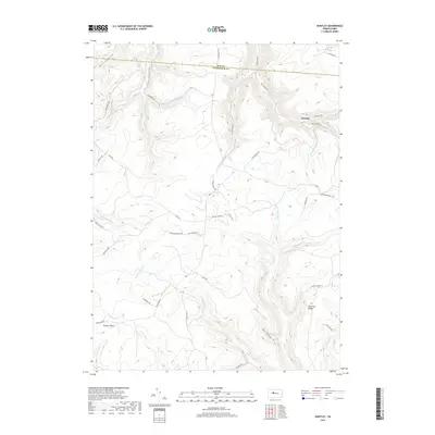
2019 Map of Huntley
USGS Topo · Published 2019About this map
Huntley sits at the junction of narrow valleys in this modern survey of the border between Elk and Clearfield counties. The landscape is defined by an intricate network of waterways draining the high plateaus, including the prominent Medix Run and Little Laurel Run. A notable geological landmark, Panther Rocks, overlooks the southwestern portion of the map, while industrial legacy is hinted at by the presence of Wallace Mine Rd and several forestry-related routes like Medix Grade Rd. The settlement pattern is sparse, with small clusters of development at Chestnut Ridge and Huntley, connected by historical corridors such as the Caledonia Pike. The high density of named runs and hollows, such as Bee Hollow and Jack Dent Br, reflects the complex drainage typical of this dissected plateau region, where contemporary forest management and legacy coal infrastructure intersect.
Find a feature on this map
49 named features on this map. Tap any name to fly to it.
Don’t see what you’re looking for? This feature index may not catch every label — zoom into the map to look around manually.
Map Details
Editions of this 2019 Huntley Map
This is the sole edition of this map. No revisions or reprints were ever made.
Other maps of this area

1929 · Clearfield
USGS Topo · 1:48,000

1929 · Penfield
USGS Topo · 1:62,500

1932 · Clearfield
USGS Topo · 1:62,500

1932 · Penfield
USGS Topo · 1:62,500

1941 · Benezette
USGS Topo · 1:62,500

1941 · Ridgway
USGS Topo · 1:62,500

1943 · Benezette
USGS Topo · 1:62,500

1944 · Ridgway
USGS Topo · 1:62,500

1957 · Warren
USGS Topo · 1:250,000

1958 · Warren
USGS Topo · 1:250,000