Loading...
Loading map...2023 Map of Huntsville
USGS Topo · Published 2023About this map
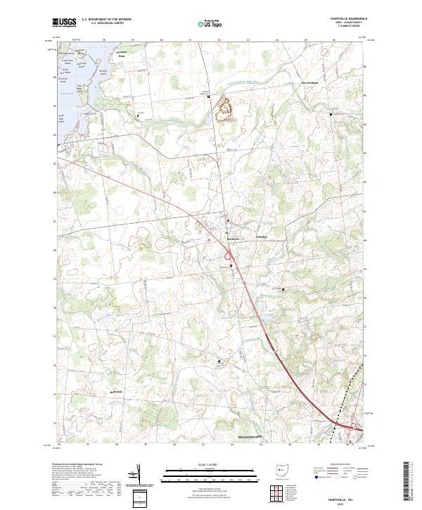
Indian Lake and its intricate shoreline dominate the northwestern corner of this Logan County landscape, where named points and islands like O'Connor Point and Seminole Island define the waterfront character. The village of Huntsville serves as a central hub, situated where the South Fork Great Miami River and numerous tributaries such as Cherokee Mans Run and Jordan Creek drain the surrounding agricultural lands.
Find a feature on this map
88 named features on this map. Tap any name to fly to it.
Don’t see what you’re looking for? This feature index may not catch every label — zoom into the map to look around manually.
Map Details
Date Portrayed2023
Date Published2023
PublisherU.S. Geological Survey
Map TypeTopographic
Scale1:24000
Physical Dimensions24 x 29 inches
Editions of this 2023 Huntsville Map
This is the sole edition of this map. No revisions or reprints were ever made.
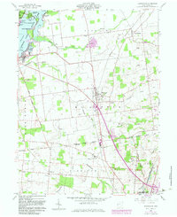
Historical Maps of Harrison Township Through Time
Featured Locations
- Richland Township, OH
- Bellefontaine, OH
- Stokes Township, OH
- McMorran, Harrison Township
- Huntsville, McArthur Township
Source Details
SourceU.S. Geological Survey
CopyrightPublic Domain