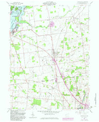
1960 Map of Huntsville
USGS Topo · Published 1983About this map
The Greenville Treaty Line bisects this landscape, marking a significant historical boundary that influences the land divisions between Richland and McArthur townships. To the northwest, the waters of Indian Lake are dotted with numerous named landforms including Seminole Island, Shawnee Island, and Governors Island. This 1960s-era survey captures the area as a mix of recreational shoreline at Indian Lake State Park and established agricultural and civic life in the village of Huntsville.
Find a feature on this map
38 named features on this map. Tap any name to fly to it.
Don’t see what you’re looking for? This feature index may not catch every label — zoom into the map to look around manually.
Map Details
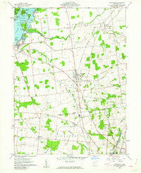
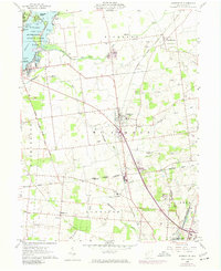
Editions of this 1960 Huntsville Map
Other maps of this area

1913 · Alger
USGS Topo · 1:48,000

1913 · Bellefontaine
USGS Topo · 1:48,000

1913 · East Liberty
USGS Topo · 1:62,500

1915 · Alger
USGS Topo · 1:62,500

1915 · Bellefontaine
USGS Topo · 1:62,500

1915 · East Liberty
USGS Topo · 1:62,500

1915 · Kenton
USGS Topo · 1:62,500

1943 · Alger
USGS Topo · 1:62,500

1944 · East Liberty
USGS Topo · 1:62,500

1944 · Kenton
USGS Topo · 1:62,500