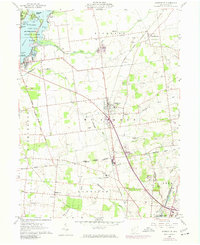
1960 Map of Huntsville
USGS Topo · Published 1974About this map
The Greenville Treaty Line bisects this Logan County landscape, marking a significant historical boundary that separates the survey systems of the Virginia Military Districts Lands Line from the townships to the north. Centered on Huntsville, the map reveals a mid-century rural economy shaped by the Penn Central railroad and a network of small creeks like Cherokee Mans Run and Bokengehalas Creek.
Find a feature on this map
46 named features on this map. Tap any name to fly to it.
Don’t see what you’re looking for? This feature index may not catch every label — zoom into the map to look around manually.
Map Details
Editions of this 1960 Huntsville Map
Other maps of this area

1913 · Alger
USGS Topo · 1:48,000

1913 · Bellefontaine
USGS Topo · 1:48,000

1913 · East Liberty
USGS Topo · 1:62,500

1915 · Alger
USGS Topo · 1:62,500

1915 · Bellefontaine
USGS Topo · 1:62,500

1915 · East Liberty
USGS Topo · 1:62,500

1915 · Kenton
USGS Topo · 1:62,500

1943 · Alger
USGS Topo · 1:62,500

1944 · East Liberty
USGS Topo · 1:62,500

1944 · Kenton
USGS Topo · 1:62,500