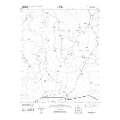
2010 Map of Hurricane Mills
USGS Topo · Published 2010About this map
The Duck River and Buffalo River converge in this section of Humphreys County, defining a landscape of complex waterways and family-held bottomlands. The Hurricane Mills Post Office serves as a central landmark in an area where the topography is heavily shaped by named hollows and ridges, such as Voorhies Hollow and Walker Ridge. The density of family burial grounds, including the Ladd Cemetery, Hobbs Cemetery, and O'Donniley Cemetery, provides a rich record of the region's genealogical history and early settlement patterns.
Find a feature on this map
102 named features on this map. Tap any name to fly to it.
Don’t see what you’re looking for? This feature index may not catch every label — zoom into the map to look around manually.
Map Details
Editions of this 2010 Hurricane Mills Map
This is the sole edition of this map. No revisions or reprints were ever made.
Other maps of this area

1936 · Gorman
USGS Topo · 1:24,000

1936 · Hurricane Mills
USGS Topo · 1:24,000

1936 · Coble
USGS Topo · 1:24,000

1936 · Daniels Landing
USGS Topo · 1:24,000

1936 · Bucksnort
USGS Topo · 1:24,000

1936 · Johnsonville
USGS Topo · 1:24,000

1936 · Lobelville
USGS Topo · 1:24,000

1936 · Waverly
USGS Topo · 1:24,000

1936 · Hustburg
USGS Topo · 1:24,000

1949 · Daniels Landing
USGS Topo · 1:24,000