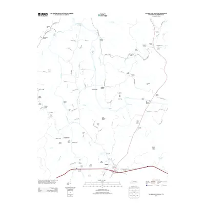
2013 Map of Hurricane Mills
USGS Topo · Published 2013About this map
The Duck River and Buffalo River converge in this western Tennessee landscape, dictating the settlement patterns and transport networks of Humphreys County. Rural communities like Hurricane Mills and Bakerville serve as anchors in an area defined by its complex topography of hollows and ridges. Numerous river crossings, including Martin Ford, Hite Ford, and Bones Ford, reflect a long history of river-dependent transit, while the Duck River Link Bridge and Tanksley Bridge represent more modern infrastructure developments.
Find a feature on this map
114 named features on this map. Tap any name to fly to it.
Don’t see what you’re looking for? This feature index may not catch every label — zoom into the map to look around manually.
Map Details
Editions of this 2013 Hurricane Mills Map
This is the sole edition of this map. No revisions or reprints were ever made.
Other maps of this area

1936 · Gorman
USGS Topo · 1:24,000

1936 · Hurricane Mills
USGS Topo · 1:24,000

1936 · Coble
USGS Topo · 1:24,000

1936 · Daniels Landing
USGS Topo · 1:24,000

1936 · Bucksnort
USGS Topo · 1:24,000

1936 · Johnsonville
USGS Topo · 1:24,000

1936 · Lobelville
USGS Topo · 1:24,000

1936 · Waverly
USGS Topo · 1:24,000

1936 · Hustburg
USGS Topo · 1:24,000

1949 · Daniels Landing
USGS Topo · 1:24,000