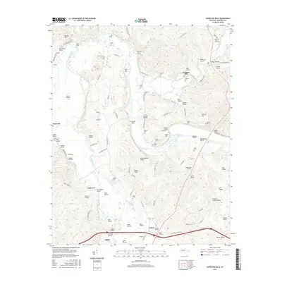
2016 Map of Hurricane Mills
USGS Topo · Published 2016About this map
The Duck River and Buffalo River converge in this section of Middle Tennessee, defining a landscape marked by deep hollows and wide river bottoms. The settlement of Hurricane Mills serves as a focal point near the winding Hurricane Creek, where the local terrain is carved into named features like Page Hollow and Hite Hollow. To the west, Bakerville sits along the Buffalo River near Cherry Bottom, illustrating how early Tennessee settlement patterns followed these fertile alluvial plains.
Find a feature on this map
119 named features on this map. Tap any name to fly to it.
Don’t see what you’re looking for? This feature index may not catch every label — zoom into the map to look around manually.
Map Details
Editions of this 2016 Hurricane Mills Map
This is the sole edition of this map. No revisions or reprints were ever made.
Other maps of this area

1936 · Gorman
USGS Topo · 1:24,000

1936 · Hurricane Mills
USGS Topo · 1:24,000

1936 · Coble
USGS Topo · 1:24,000

1936 · Daniels Landing
USGS Topo · 1:24,000

1936 · Bucksnort
USGS Topo · 1:24,000

1936 · Johnsonville
USGS Topo · 1:24,000

1936 · Lobelville
USGS Topo · 1:24,000

1936 · Waverly
USGS Topo · 1:24,000

1936 · Hustburg
USGS Topo · 1:24,000

1949 · Daniels Landing
USGS Topo · 1:24,000