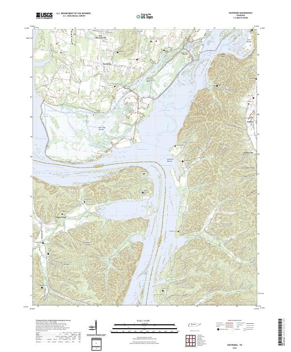
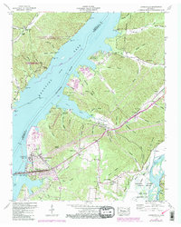
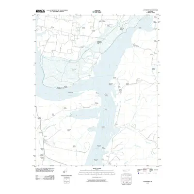
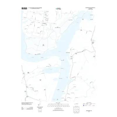
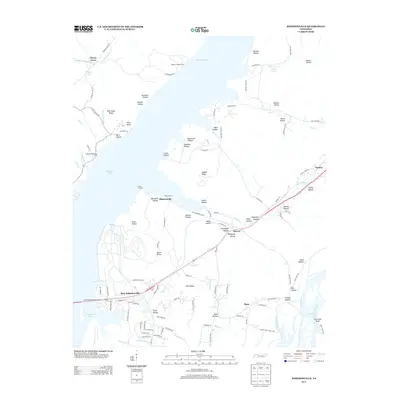
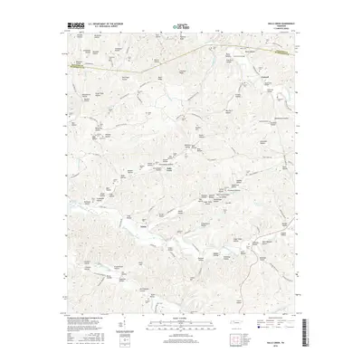
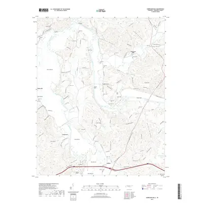
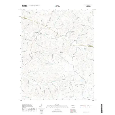
2022 Map of Hustburg
USGS Topo · Published 2022About this map
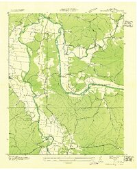
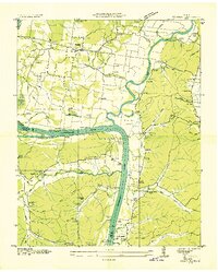
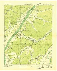
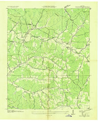
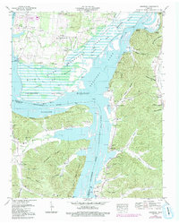
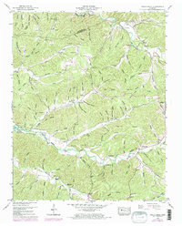
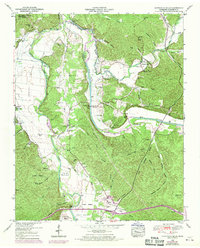
The Tennessee River and Kentucky Lake dominate this landscape along the border of Humphreys and Benton counties. Significant bottomlands define the river's path, including the Upper Big Bottom and Lower Big Bottom, while the Duck River Dewatering Area manages the confluence where the Duck River meets the larger waterway. The topography shifts dramatically from these low-lying bottoms to the intricate hollows and ridges to the east, such as Sinkhole Ridge and Polecat Hollow.
Find a feature on this map
110 named features on this map. Tap any name to fly to it.
Don’t see what you’re looking for? This feature index may not catch every label — zoom into the map to look around manually.
Map Details
Editions of this 2022 Hustburg Map
This is the sole edition of this map. No revisions or reprints were ever made.
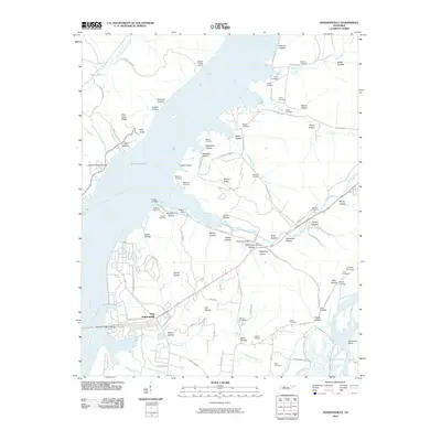
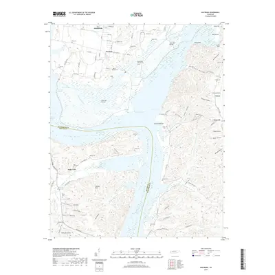
Historical Maps of New Johnsonville Through Time
51 maps found
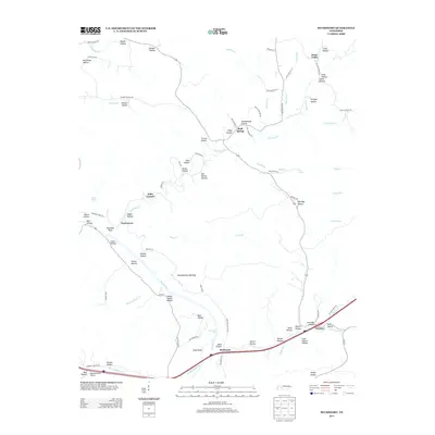
1936 Bucksnort
Humphreys County, TN
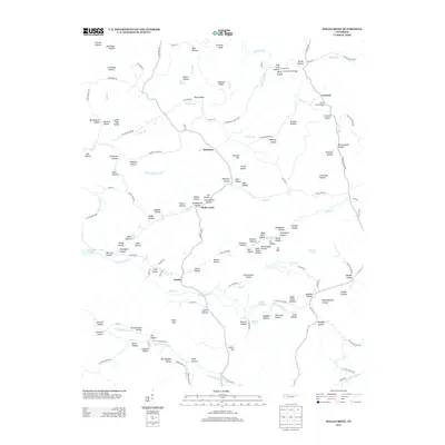
1936 Gorman
Humphreys County, TN
1936 Halls Creek
Humphreys County, TN
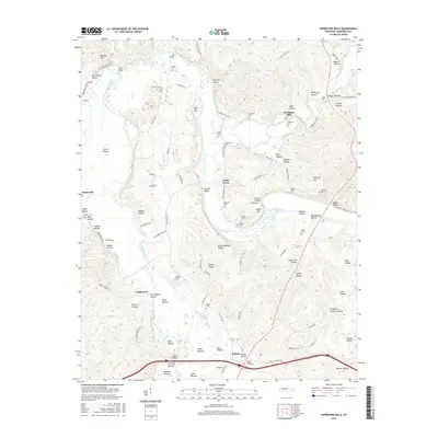
1936 Hurricane Mills
Humphreys County, TN
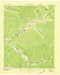
1936 Hustburg
Humphreys County, TN
1936 Johnsonville
Humphreys County, TN
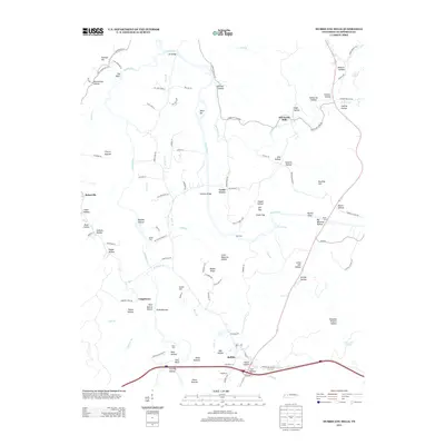
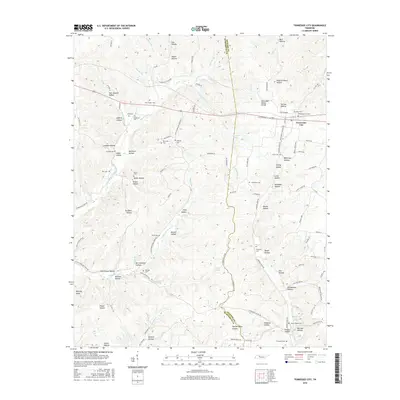
1936 Tennessee City
Humphreys County, TN
1936 Woolworth
Humphreys County, TN
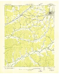
1949 Hustburg
Humphreys County, TN
1950 Halls Creek
Humphreys County, TN
1950 Hurricane Mills
Humphreys County, TN
1950 Johnsonville
Humphreys County, TN
1952 Bucksnort
Humphreys County, TN
1952 Mc Ewen
Humphreys County, TN
1952 Woolworth
Humphreys County, TN
1953 Tennessee City
Humphreys County, TN
2010 Bucksnort
Humphreys County, TN
2010 Halls Creek
Humphreys County, TN
2010 Hurricane Mills
Humphreys County, TN
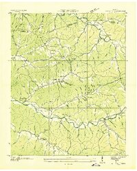
2010 Hustburg
Humphreys County, TN
2010 Johnsonville
Humphreys County, TN
2010 Tennessee City
Humphreys County, TN
2010 Woolworth
Humphreys County, TN
2013 Bucksnort
Humphreys County, TN
2013 Halls Creek
Humphreys County, TN
2013 Hurricane Mills
Humphreys County, TN
2013 Hustburg
Humphreys County, TN
2013 Johnsonville
Humphreys County, TN
2013 Tennessee City
Humphreys County, TN
2013 Woolworth
Humphreys County, TN
2016 Bucksnort
Humphreys County, TN
2016 Halls Creek
Humphreys County, TN
2016 Hurricane Mills
Humphreys County, TN
2016 Hustburg
Humphreys County, TN
2016 Johnsonville
Humphreys County, TN
2016 Tennessee City
Humphreys County, TN
2016 Woolworth
Humphreys County, TN
2019 Bucksnort
Humphreys County, TN
2019 Halls Creek
Humphreys County, TN
2019 Hurricane Mills
Humphreys County, TN
2019 Hustburg
Humphreys County, TN
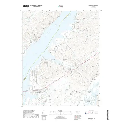
2019 Johnsonville
Humphreys County, TN
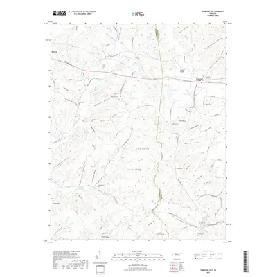
2019 Tennessee City
Humphreys County, TN
2019 Woolworth
Humphreys County, TN
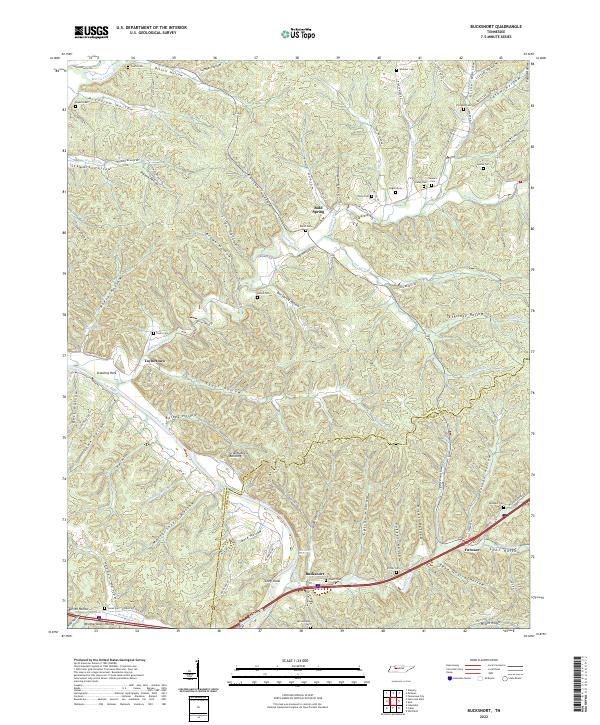
2022 Bucksnort
Humphreys County, TN
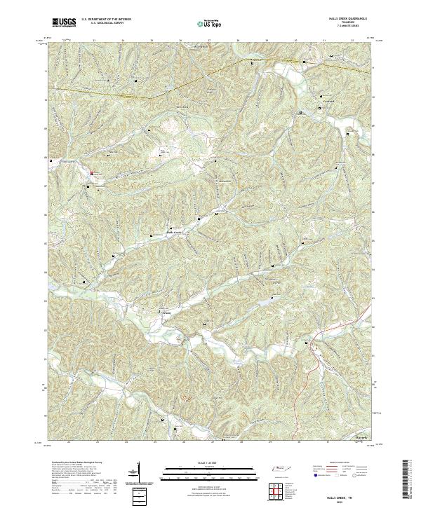
2022 Halls Creek
Humphreys County, TN
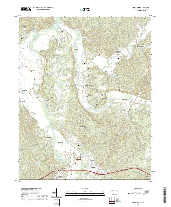
2022 Hurricane Mills
Humphreys County, TN
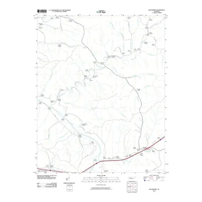
2022 Hustburg
Humphreys County, TN
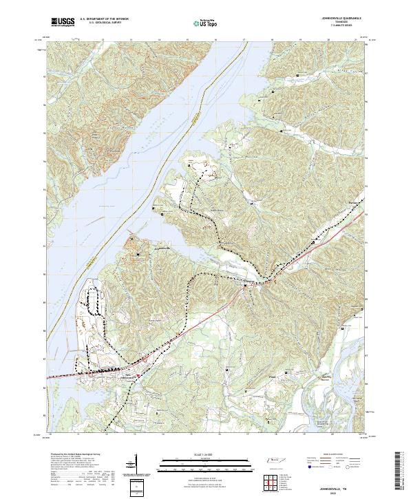
2022 Johnsonville
Humphreys County, TN
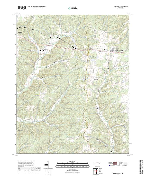
2022 Tennessee City
Humphreys County, TN
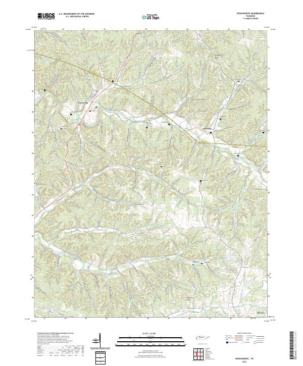
2022 Woolworth
Humphreys County, TN