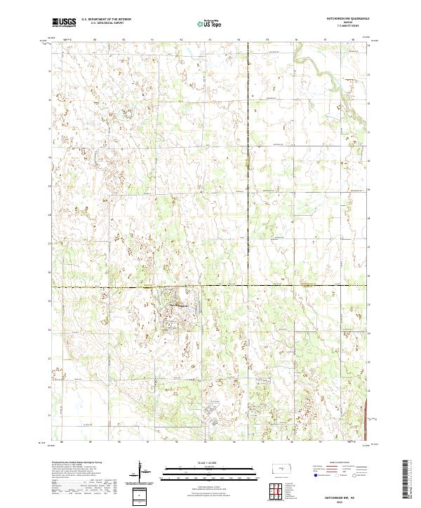
2022 Map of Hutchinson NW
USGS Topo · Published 2022About this map
The Highlands settlement sits at the intersection of several counties in this interior Kansas landscape, defined by a distinct transition between agricultural grids and the complex hydrology of the Little Arkansas River. The northeastern corner of the map is shaped by the river's winding course, while Sand Cr drains the central plains. Local infrastructure follows a naming convention that honors Indigenous heritage, visible in thoroughfares like Cheyenne Rd, Arapaho Rd, and Cherokee Rd. Within the residential area of the Highlands, specific paths such as Paganica Pass, Dull Knife Rd, and Crazy Horse Rd provide a detailed view of the localized road network. The map also records the jurisdictional boundaries where Rice, Reno, and McPherson counties meet, illustrating the administrative geometry of the region.
Find a feature on this map
54 named features on this map. Tap any name to fly to it.
Don’t see what you’re looking for? This feature index may not catch every label — zoom into the map to look around manually.
Map Details
Editions of this 2022 Hutchinson NW Map
This is the sole edition of this map. No revisions or reprints were ever made.
Other maps of this area

1891 · Hutchinson
USGS Topo · 1:125,000

1893 · Hutchinson
USGS Topo · 1:125,000

1894 · Lyons
USGS Topo · 1:125,000

1955 · Great Bend
USGS Topo · 1:250,000

1955 · Hutchinson
USGS Topo · 1:250,000

1957 · Great Bend
USGS Topo · 1:250,000

1958 · Great Bend
USGS Topo · 1:250,000

1959 · Hutchinson
USGS Topo · 1:250,000

1960 · Yaggy
USGS Topo · 1:24,000
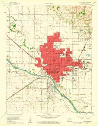
1960 · Hutchinson
USGS Topo · 1:24,000