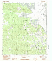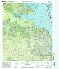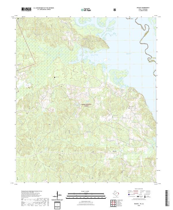
2022 Map of Huxley
USGS Topo · Published 2022About this map
Sabine National Forest dominates this East Texas landscape along the Louisiana-Texas border. The settlement of Huxley sits at a crossroads south of the Toledo Bend Reservoir, which was formed by the damming of the Sabine River. The terrain is defined by a network of bayous and creeks, including Tenaha Bayou and Grannies Cr, which drain into the reservoir. Numerous family-named cemeteries are scattered across the quadrangle, such as Star Spring Cem, Carroll Cem, and Wimberly Cem, indicating the long-standing rural communities that preceded the modern forest boundaries. Smaller water bodies like Goodsons Lake and Mason Lake are tucked within the wooded interior, while Wildcat Bend marks a significant curve in the original river channel. The map also identifies the National Forest Spring, emphasizing the local water resources that have sustained this region for generations.
Find a feature on this map
54 named features on this map. Tap any name to fly to it.
Don’t see what you’re looking for? This feature index may not catch every label — zoom into the map to look around manually.
Map Details
Editions of this 2022 Huxley Map
This is the sole edition of this map. No revisions or reprints were ever made.