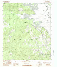
1984 Map of Huxley
USGS Topo · Published 1984About this map
Sabine National Forest dominates this landscape along the eastern edge of Shelby County, where the dense timberlands meet the expansive waters of the Toledo Bend Reservoir. The settlement of Huxley is captured at a moment of transition, its municipal reach defined by the Huxley Corporate Boundary as it skirts the reservoir shoreline. This area serves as a primary crossing point between Texas and Louisiana, with the original course of the Sabine River submerged beneath the reservoir's surface.
Find a feature on this map
23 named features on this map. Tap any name to fly to it.
Don’t see what you’re looking for? This feature index may not catch every label — zoom into the map to look around manually.
Map Details
Editions of this 1984 Huxley Map
This is the sole edition of this map. No revisions or reprints were ever made.
Other maps of this area

1944 · Logansport
USGS Topo · 1:62,500

1944 · Patroon
USGS Topo · 1:62,500

1953 · Alexandria
USGS Topo · 1:250,000

1953 · Palestine
USGS Topo · 1:250,000

1955 · Alexandria
USGS Topo · 1:250,000

1956 · Logansport
USGS Topo · 1:62,500

1956 · Patroon
USGS Topo · 1:62,500

1957 · Palestine
USGS Topo · 1:250,000

1958 · Center
USGS Topo · 1:62,500

1958 · San Augustine
USGS Topo · 1:62,500