
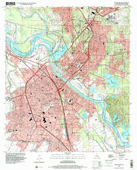
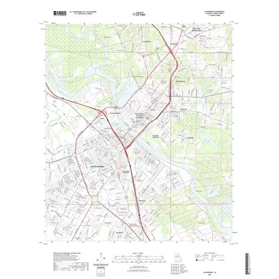
1955 Map of Alexandria
USGS Topo · Published 1955About this map
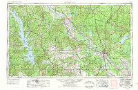
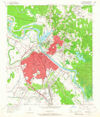
Alexandria and its twin city Pineville anchor this 1955 survey of Central Louisiana, situated at a critical bend in the Red River. The region’s post-war economy is defined by a dense intersection of river commerce and heavy rail traffic, including the Kansas City Southern RR and Texas & Pacific RR. To the west, the massive Camp Polk Military Reservation and England Air Force Base signal the mid-century expansion of federal defense infrastructure across the piney woods.
Find a feature on this map
329 named features on this map. Tap any name to fly to it.
Don’t see what you’re looking for? This feature index may not catch every label — zoom into the map to look around manually.
Map Details
Editions of this 1955 Alexandria Map
This is the sole edition of this map. No revisions or reprints were ever made.
Historical Maps of Alexandria Through Time
13 maps found

1941 Alexandria
Rapides Parish, LA
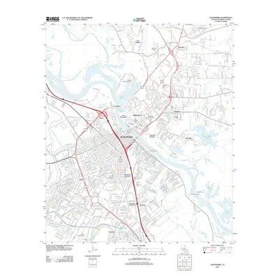
1953 Alexandria
Rapides Parish, LA
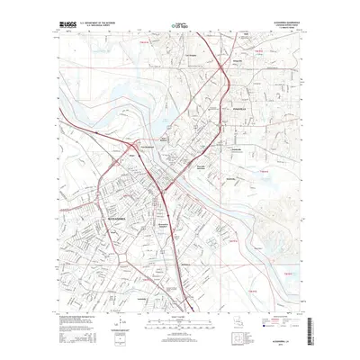
1955 Alexandria
Rapides Parish, LA
1957 Alexandria
Rapides Parish, LA
1957 Alexandria
Rapides Parish, LA
1972 Alexandria
Rapides Parish, LA

1986 Alexandria
Rapides Parish, LA
1998 Alexandria
Rapides Parish, LA
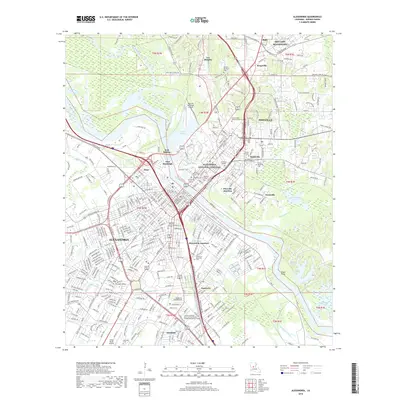
2012 Alexandria
Rapides Parish, LA
2015 Alexandria
Rapides Parish, LA
2018 Alexandria
Rapides Parish, LA
2021 Alexandria
Rapides Parish, LA
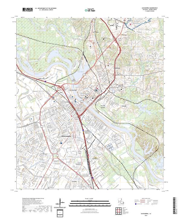
2024 Alexandria
Rapides Parish, LA