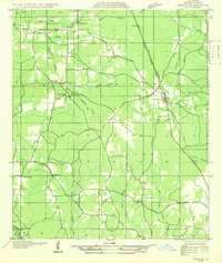
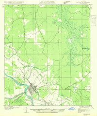
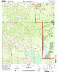
1932 Map of Colfax SE
USGS Topo · Published 1932About this map
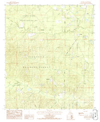
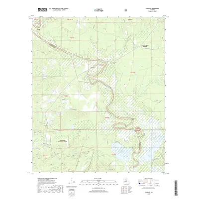
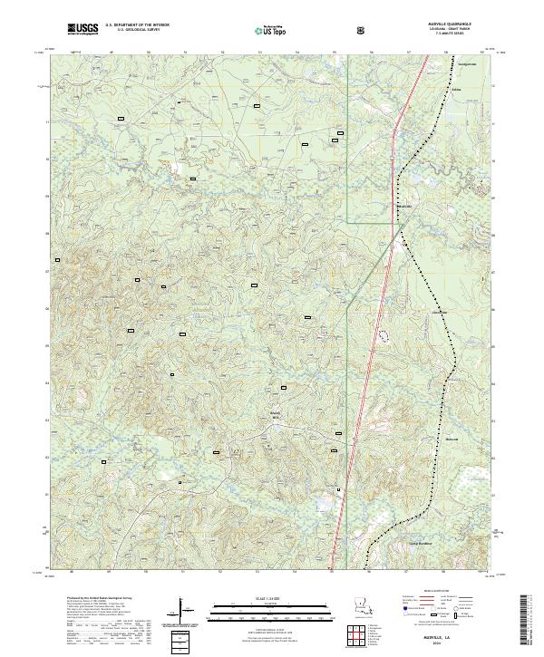
Kisatchie National Forest dominates much of this Grant Parish landscape, where the transition from timberlands to established rural communities is documented through a network of small churches and schoolhouses. The settlement of Dry Prong serves as a focal point along the State and Arkansas Highway No 99, while smaller outposts like Faircloth occupy the northern reaches near Black Creek.
Find a feature on this map
32 named features on this map. Tap any name to fly to it.
Don’t see what you’re looking for? This feature index may not catch every label — zoom into the map to look around manually.
Map Details
Editions of this 1932 Colfax SE Map
This is the sole edition of this map. No revisions or reprints were ever made.
Historical Maps of Dry Prong Through Time
40 maps found
1932 Boyce NE
Grant Parish, LA
1932 Colfax NE
Grant Parish, LA
1932 Colfax NW
Grant Parish, LA
1932 Colfax SE
Grant Parish, LA
1932 Colfax SW
Grant Parish, LA
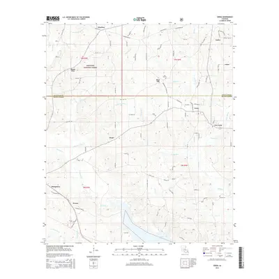
1935 Verda
Grant Parish, LA
1983 Verda
Grant Parish, LA
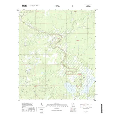
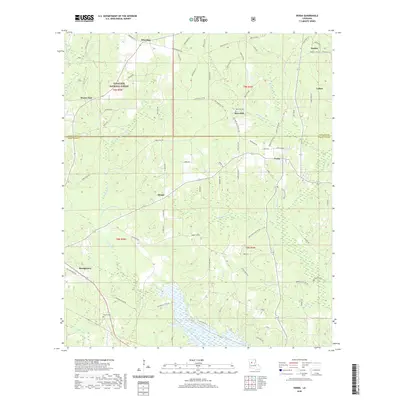
1985 Fishville
Grant Parish, LA
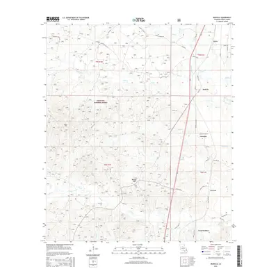
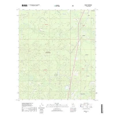
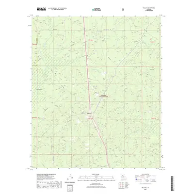
1985 Mudville
Grant Parish, LA
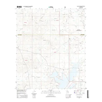
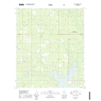
1985 Savage Creek
Grant Parish, LA
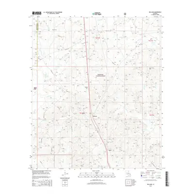
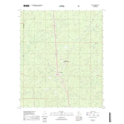
1985 Williana
Grant Parish, LA

2003 Fishville
Grant Parish, LA
2003 Mudville
Grant Parish, LA
2003 Savage Creek
Grant Parish, LA
2003 Williana
Grant Parish, LA
2012 Fishville
Grant Parish, LA
2012 Mudville
Grant Parish, LA
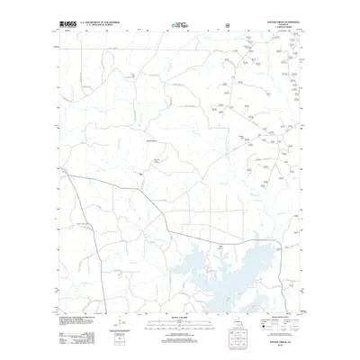
2012 Savage Creek
Grant Parish, LA
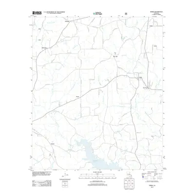
2012 Verda
Grant Parish, LA
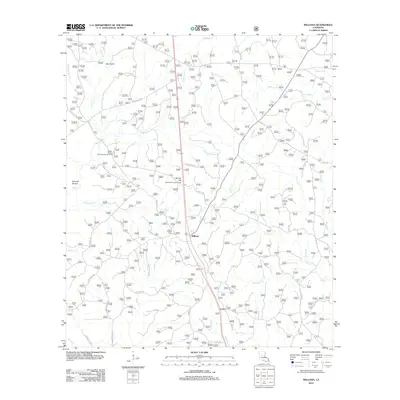
2012 Williana
Grant Parish, LA
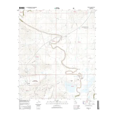
2015 Fishville
Grant Parish, LA
2015 Mudville
Grant Parish, LA
2015 Savage Creek
Grant Parish, LA
2015 Verda
Grant Parish, LA
2015 Williana
Grant Parish, LA
2018 Fishville
Grant Parish, LA
2018 Mudville
Grant Parish, LA
2018 Savage Creek
Grant Parish, LA
2018 Verda
Grant Parish, LA
2018 Williana
Grant Parish, LA
2020 Fishville
Grant Parish, LA
2020 Mudville
Grant Parish, LA
2020 Savage Creek
Grant Parish, LA
2020 Verda
Grant Parish, LA
2020 Williana
Grant Parish, LA
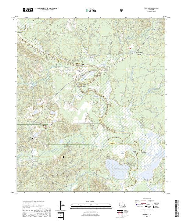
2024 Fishville
Grant Parish, LA
2024 Mudville
Grant Parish, LA
2024 Savage Creek
Grant Parish, LA
2024 Verda
Grant Parish, LA
2024 Williana
Grant Parish, LA