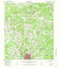
1957 Map of Palestine
USGS Topo · Published 1957About this map
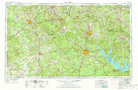
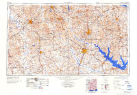
Davy Crockett National Forest and the Angelina National Forest dominate the central and eastern portions of this East Texas survey, illustrating a landscape defined by timber and river valleys. Major population centers like Palestine, Nacogdoches, and Lufkin serve as hubs for a dense network of transit routes, including the Missouri Pacific RR and Southern Pacific RR. The map preserves the geography of the region before the creation of several major modern reservoirs; for instance, the Angelina River and Attoyac Bayou flow freely through what would later become the Sam Rayburn Reservoir.
Find a feature on this map
215 named features on this map. Tap any name to fly to it.
Don’t see what you’re looking for? This feature index may not catch every label — zoom into the map to look around manually.
Map Details
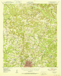
Editions of this 1957 Palestine Map
This is the sole edition of this map. No revisions or reprints were ever made.
Historical Maps of Lufkin Through Time
6 maps found