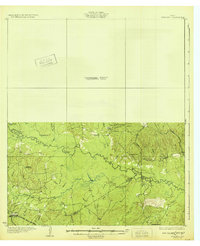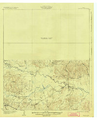
1932 Map of Manning
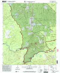
USGS Topo · Published 1932This historical map portrays the area of Manning in 1932, primarily covering Angelina County as well as portions of Polk County and Tyler County. Featuring a scale of 1:62500, this map provides a highly detailed snapshot of the terrain, roads, buildings, counties, and historical landmarks in the Manning region at the time. Published in 1932, it is one of 3 known editions of this map due to revisions or reprints.
Map Details
Editions of this 1932 Manning Map
Historical Maps of Angelina County Through Time
19 maps found
1928 Lufkin 4-d
Angelina County, TX
1928 Zavalla 3-c
Angelina County, TX
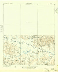
1932 Manning
Angelina County, TX
1949 Clawson
Angelina County, TX
1949 Keltys
Angelina County, TX
1950 Clawson
Angelina County, TX
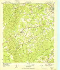
1950 Keltys
Angelina County, TX
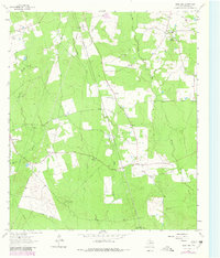
1963 Bald Hill
Angelina County, TX
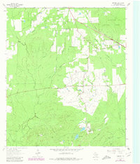
1963 Manning
Angelina County, TX
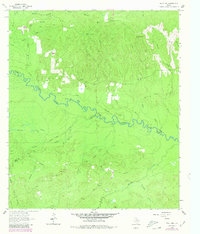
1963 Wolf Hill
Angelina County, TX
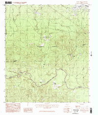
1984 Boykin Spring
Angelina County, TX
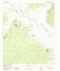
1984 Cassells-Boykin Park
Angelina County, TX
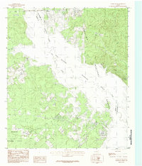
1984 Etoile South
Angelina County, TX
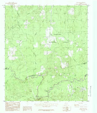
1984 Rockland
Angelina County, TX
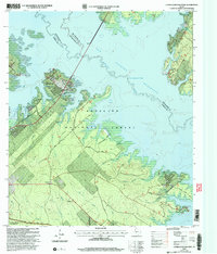
2003 Cassells-Boykin Park
Angelina County, TX
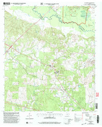
2003 Clawson
Angelina County, TX
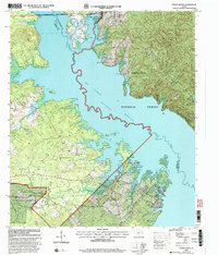
2003 Etoile South
Angelina County, TX
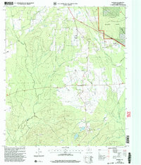
2003 Manning
Angelina County, TX
2003 Rockland
Angelina County, TX
