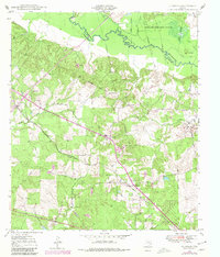
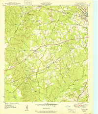
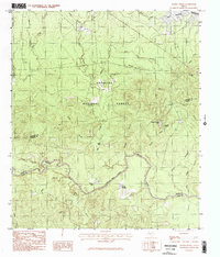
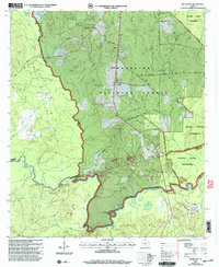
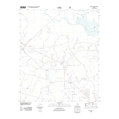
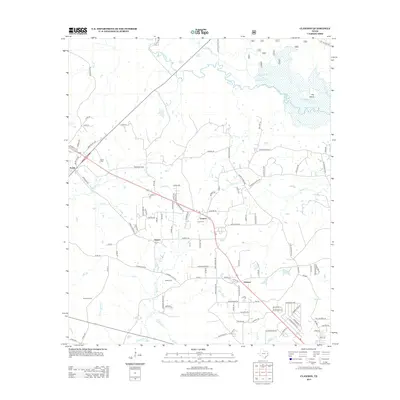
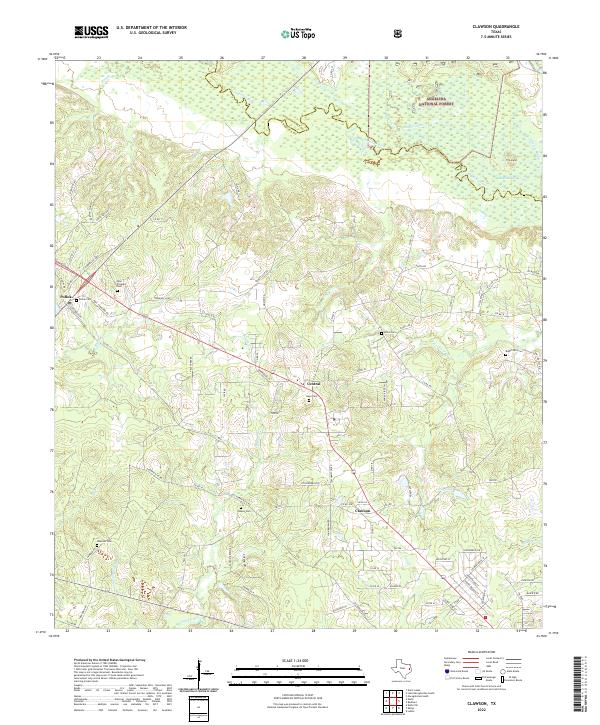
1949 Map of Clawson
USGS Topo · Published 1980About this map
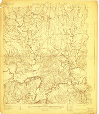
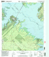
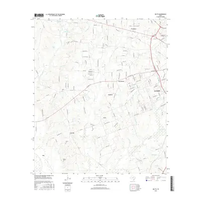
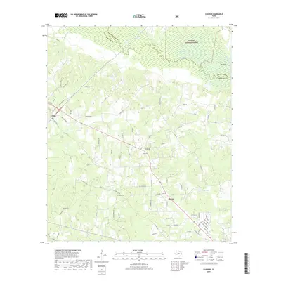
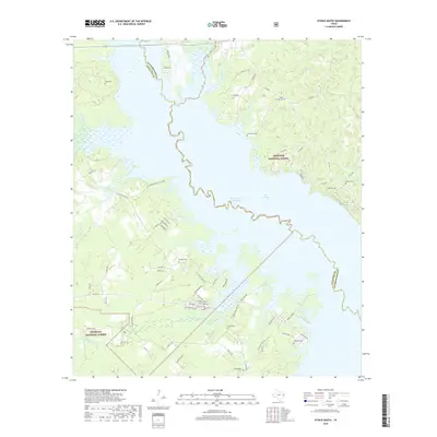
The Angelina River forms the northern boundary of this landscape, separating Angelina and Nacogdoches counties as it winds through the Angelina National Forest. This 1949 survey, with revisions from 1977, details a rural Texas region defined by its timber and transit routes. The St Louis Southwestern railroad cuts diagonally across the terrain, linking small communities like Pollok and Central. Local genealogy is well-represented through several family-named landmarks, including the Gann Cem, Newman Cem, and Poskey Cem, alongside the Pollok Sch. The presence of an underground pipe line and a pumping station indicates the region's role in energy infrastructure. Numerous small tributaries such as Bodan Creek and Procella Creek drain into the river system, creating a varied topography of low-lying wetlands and upland woods.
Find a feature on this map
28 named features on this map. Tap any name to fly to it.
Don’t see what you’re looking for? This feature index may not catch every label — zoom into the map to look around manually.
Map Details
Editions of this 1949 Clawson Map
3 editions found
Historical Maps of Durant Through Time
64 maps found
1928 Lufkin 4-d
Angelina County, TX
1928 Zavalla 3-c
Angelina County, TX
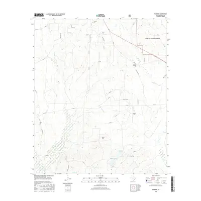
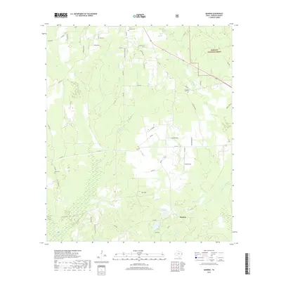
1932 Manning
Angelina County, TX
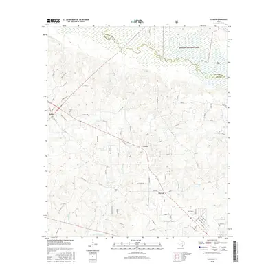
1949 Clawson
Angelina County, TX
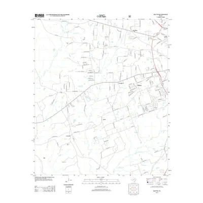
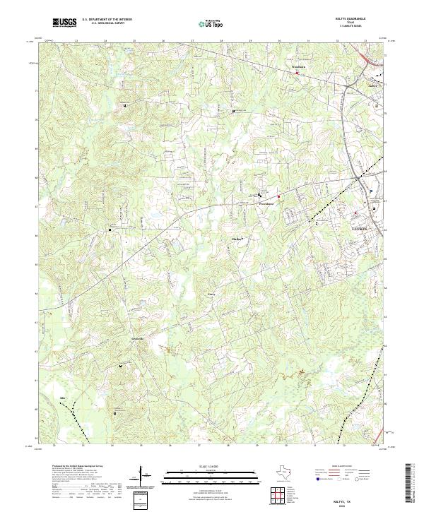
1949 Keltys
Angelina County, TX
1950 Clawson
Angelina County, TX
1950 Keltys
Angelina County, TX
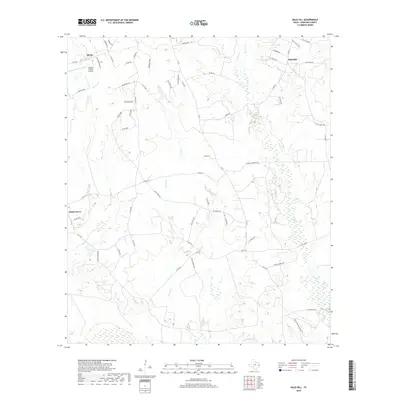
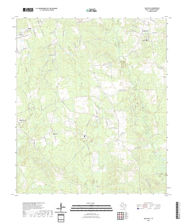
1963 Bald Hill
Angelina County, TX
1963 Manning
Angelina County, TX
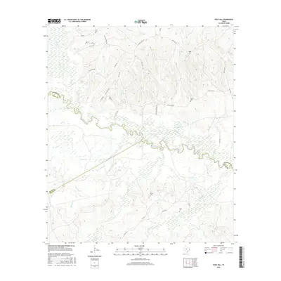
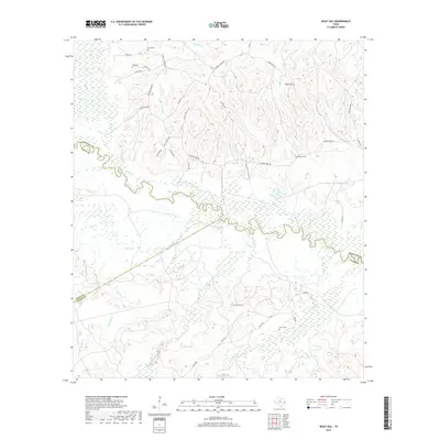
1963 Wolf Hill
Angelina County, TX
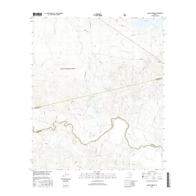
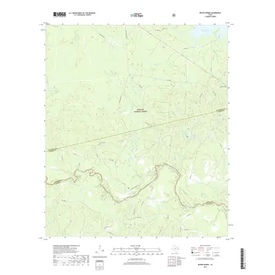
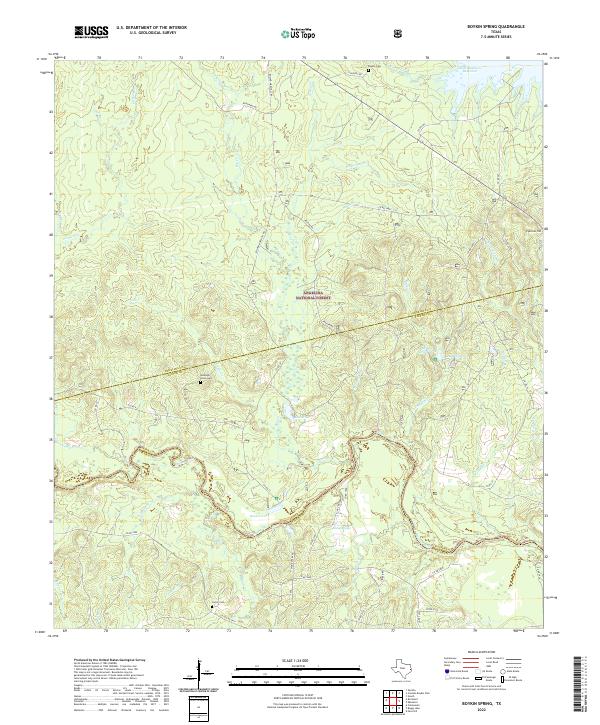
1984 Boykin Spring
Angelina County, TX
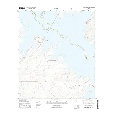
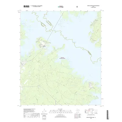
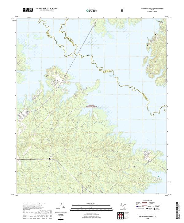
1984 Cassells-Boykin Park
Angelina County, TX
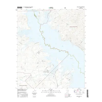
1984 Etoile South
Angelina County, TX
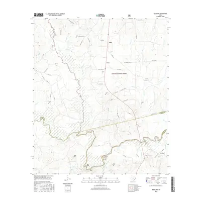
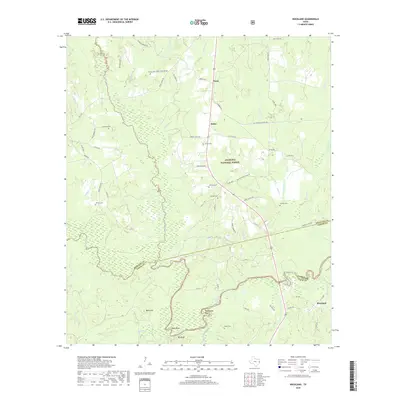
1984 Rockland
Angelina County, TX
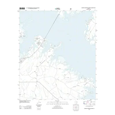
2003 Cassells-Boykin Park
Angelina County, TX
2003 Clawson
Angelina County, TX
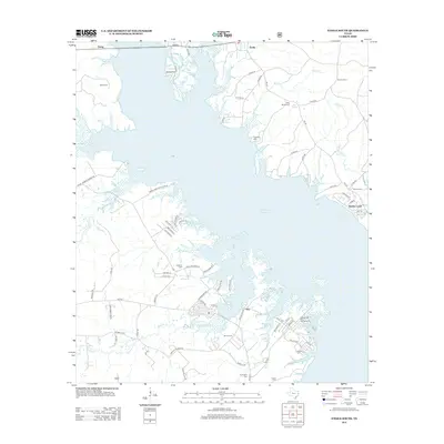
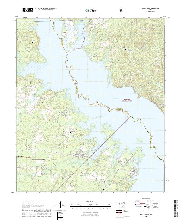
2003 Etoile South
Angelina County, TX
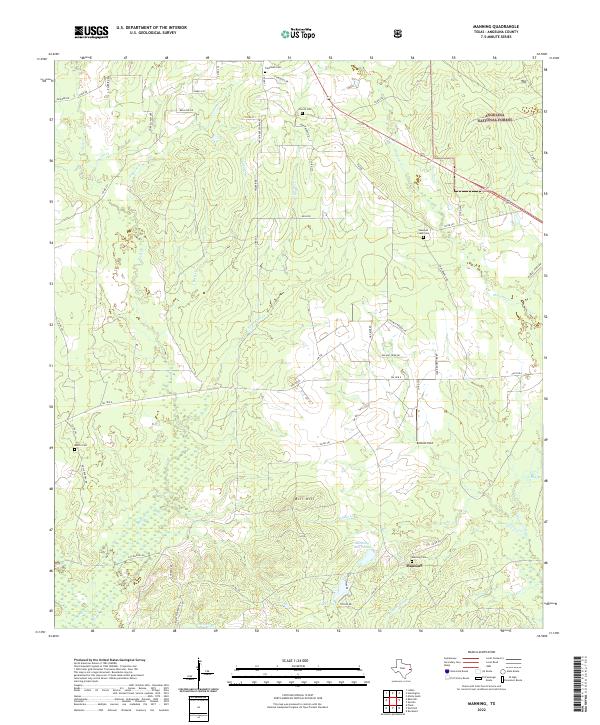
2003 Manning
Angelina County, TX
2003 Rockland
Angelina County, TX
2010 Bald Hill
Angelina County, TX
2010 Boykin Spring
Angelina County, TX
2010 Cassells-Boykin Park
Angelina County, TX
2010 Clawson
Angelina County, TX
2010 Etoile South
Angelina County, TX
2010 Keltys
Angelina County, TX
2010 Manning
Angelina County, TX
2010 Rockland
Angelina County, TX
2010 Wolf Hill
Angelina County, TX
2013 Bald Hill
Angelina County, TX
2013 Boykin Spring
Angelina County, TX
2013 Cassells-Boykin Park
Angelina County, TX
2013 Clawson
Angelina County, TX
2013 Etoile South
Angelina County, TX
2013 Keltys
Angelina County, TX
2013 Manning
Angelina County, TX
2013 Rockland
Angelina County, TX
2013 Wolf Hill
Angelina County, TX
2016 Bald Hill
Angelina County, TX
2016 Boykin Spring
Angelina County, TX
2016 Cassells-Boykin Park
Angelina County, TX
2016 Clawson
Angelina County, TX
2016 Etoile South
Angelina County, TX
2016 Keltys
Angelina County, TX
2016 Manning
Angelina County, TX
2016 Rockland
Angelina County, TX
2016 Wolf Hill
Angelina County, TX
2019 Bald Hill
Angelina County, TX
2019 Boykin Spring
Angelina County, TX
2019 Cassells-Boykin Park
Angelina County, TX
2019 Clawson
Angelina County, TX
2019 Etoile South
Angelina County, TX
2019 Keltys
Angelina County, TX
2019 Manning
Angelina County, TX
2019 Rockland
Angelina County, TX
2019 Wolf Hill
Angelina County, TX
2022 Bald Hill
Angelina County, TX
2022 Boykin Spring
Angelina County, TX
2022 Cassells-Boykin Park
Angelina County, TX
2022 Clawson
Angelina County, TX
2022 Etoile South
Angelina County, TX
2022 Keltys
Angelina County, TX
2022 Manning
Angelina County, TX
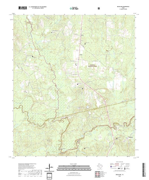
2022 Rockland
Angelina County, TX
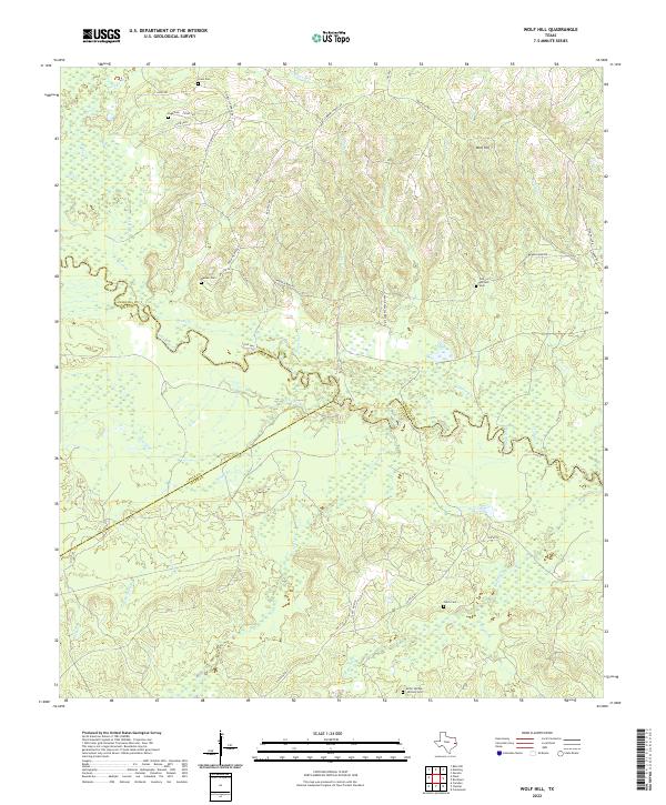
2022 Wolf Hill
Angelina County, TX