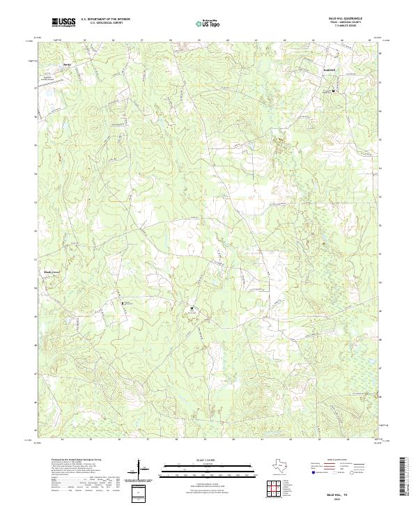
2022 Map of Bald Hill
USGS Topo · Published 2022About this map
Angelina County Airport anchors the northwestern corner of this landscape, a vital point of transit for this portion of eastern Texas. The terrain is defined by a dense network of tributaries, including One Eye Cr and Biloxi Cr, which drain a countryside increasingly subdivided by rural roads and residential enclaves like Burke and Bald Hill. These small settlements serve as focal points for local history, often centered around community landmarks such as Gilbert Chapel Cem or the Prairie Grove Cem. The presence of several established burial grounds, including Pine Grove Cem, provides significant value for genealogists tracing family ties in the region. To the west, the community of Shady Grove sits near the winding course of Stovall Cr, illustrating how development in this timber-rich area has historically followed both the natural watercourses and the modern expansions of FM 58.
Find a feature on this map
66 named features on this map. Tap any name to fly to it.
Don’t see what you’re looking for? This feature index may not catch every label — zoom into the map to look around manually.
Map Details
Editions of this 2022 Bald Hill Map
This is the sole edition of this map. No revisions or reprints were ever made.
Other maps of this area

1927 · Lufkin 4-c
USGS Topo · 1:24,000

1928 · Lufkin 4-d
USGS Topo · 1:24,000

1932 · Manning
USGS Topo · 1:62,500

1949 · Lufkin
USGS Topo · 1:62,500

1949 · Lufkin
USGS Topo · 1:24,000

1949 · Huntington
USGS Topo · 1:24,000

1949 · Keltys
USGS Topo · 1:24,000

1950 · Keltys
USGS Topo · 1:24,000

1950 · Lufkin
USGS Topo · 1:24,000

1950 · Huntington
USGS Topo · 1:24,000