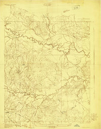
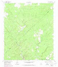
1927 Map of Lufkin 4-c
USGS Topo · Published 1927About this map
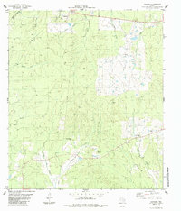
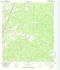
The Neches River meanders through this 1927 landscape, defining the boundary between Angelina and Polk counties. This survey, compiled in part from early Air Corps aerial photographs, shows a region defined by its timber and waterways before modern infrastructure transformed the East Texas river bottoms. The The Island River creates a distinctive fork in the flow, while numerous tributaries like Saxon Creek and Piney Creek drain the surrounding woods. Local life centers on small landmarks such as the Pluck PO and Seaman Ridge Sch, connected by the Beaumont Trinity and Sabine route. The prevalence of Timber labels across the ridges and the presence of an RR (Abandoned) line near Prairie Creek suggest an era of transition for the local logging economy, documenting a specific moment in the industrial history of the Piney Woods.
Find a feature on this map
24 named features on this map. Tap any name to fly to it.
Don’t see what you’re looking for? This feature index may not catch every label — zoom into the map to look around manually.
Map Details
Editions of this 1927 Lufkin 4-c Map
This is the sole edition of this map. No revisions or reprints were ever made.
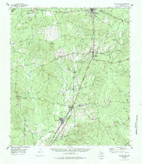
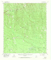
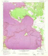
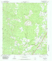
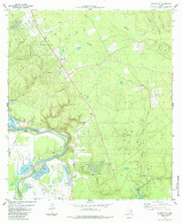
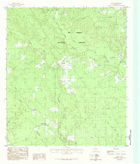
Historical Maps of Pluck Through Time
31 maps found
1927 Lufkin 4-c
Polk County, TX
1955 New Willard
Polk County, TX
1958 Segno
Polk County, TX
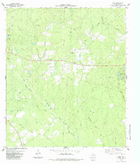
1960 Blanchard
Polk County, TX
1960 Colita
Polk County, TX
1963 Pluck
Polk County, TX
1963 Wakefield
Polk County, TX
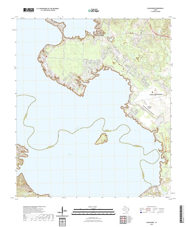
1984 Camden
Polk County, TX
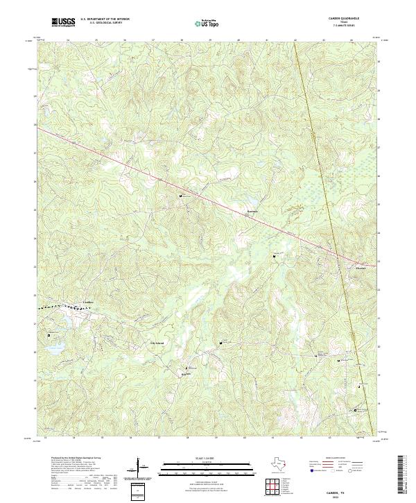
1984 Carmona
Polk County, TX
1984 Dallardsville
Polk County, TX
1984 Hortense
Polk County, TX
1984 Jacks Creek South
Polk County, TX
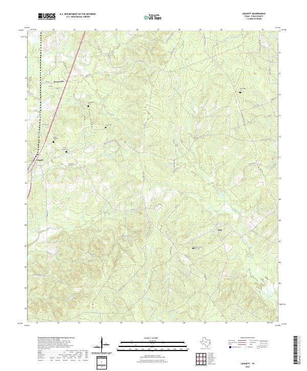
1984 Leggett
Polk County, TX
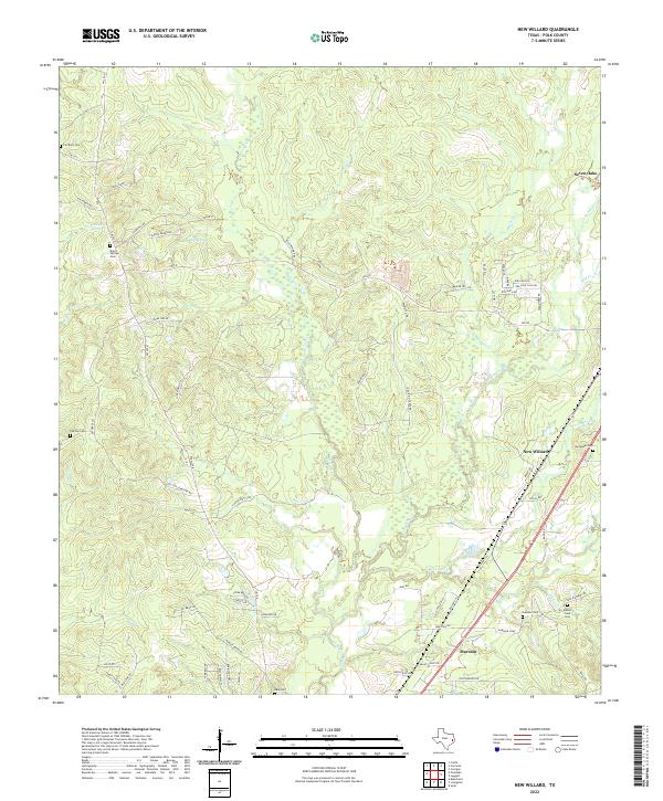
1984 New Willard
Polk County, TX
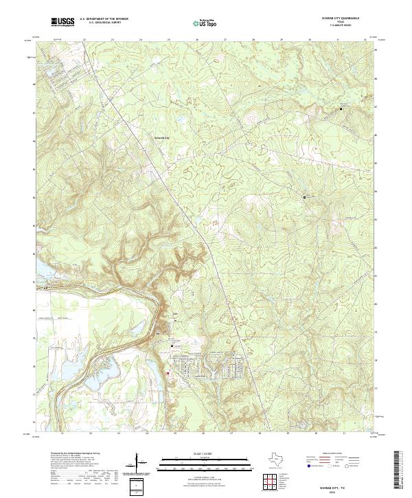
1984 Schwab City
Polk County, TX
1984 Segno
Polk County, TX
1984 Soda
Polk County, TX
2022 Blanchard
Polk County, TX
2022 Camden
Polk County, TX
2022 Carmona
Polk County, TX
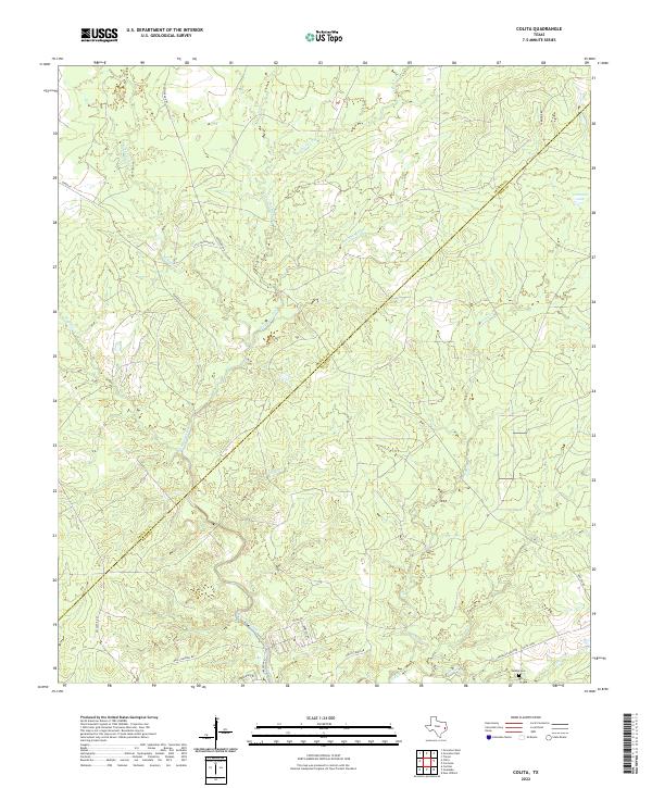
2022 Colita
Polk County, TX
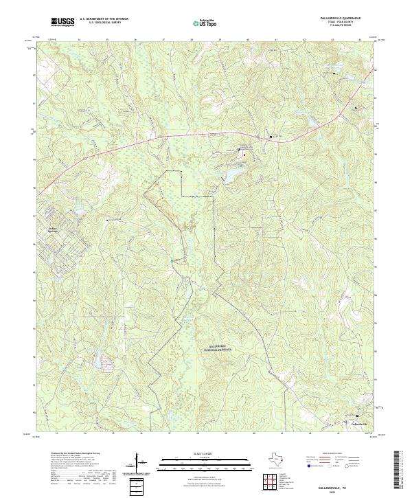
2022 Dallardsville
Polk County, TX
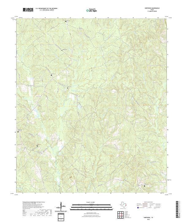
2022 Hortense
Polk County, TX
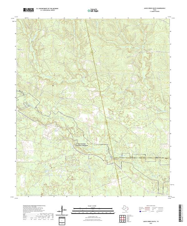
2022 Jacks Creek South
Polk County, TX
2022 Leggett
Polk County, TX
2022 New Willard
Polk County, TX
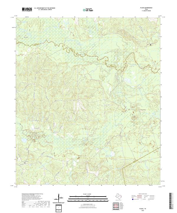
2022 Pluck
Polk County, TX
2022 Schwab City
Polk County, TX
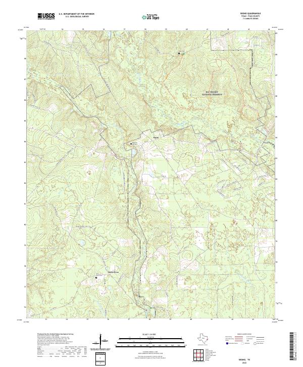
2022 Segno
Polk County, TX
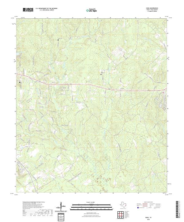
2022 Soda
Polk County, TX
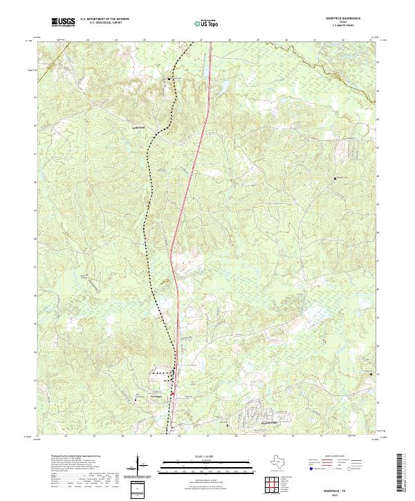
2022 Wakefield
Polk County, TX