
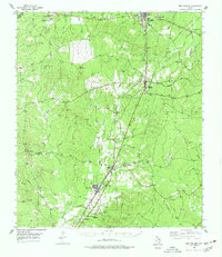
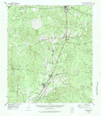
1955 Map of New Willard
USGS Topo · Published 1957About this map
New Willard and Corrigan anchor this mid-century portrait of Polk County, where the rail-and-timber landscape of East Texas is clearly defined. The Southern Pacific and Texas and New Orleans railroads form the primary north-south spine, while the short-line Moscow Camden and San Augustine branches off toward the east. This network links small timber-era settlements like Moscow, Bering, and Leggett to the larger region.
Find a feature on this map
60 named features on this map. Tap any name to fly to it.
Don’t see what you’re looking for? This feature index may not catch every label — zoom into the map to look around manually.
Map Details
Editions of this 1955 New Willard Map
3 editions found
Other maps of this area

1927 · Lufkin 4-c
USGS Topo · 1:24,000

1932 · Manning
USGS Topo · 1:62,500

1953 · Palestine
USGS Topo · 1:250,000

1954 · Beaumont
USGS Topo · 1:250,000

1955 · Camden
USGS Topo · 1:62,500

1957 · Beaumont
USGS Topo · 1:250,000

1957 · Palestine
USGS Topo · 1:250,000

1958 · Livingston
USGS Topo · 1:62,500

1958 · Segno
USGS Topo · 1:62,500

1960 · Blanchard
USGS Topo · 1:24,000