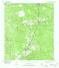
1955 Map of New Willard
USGS Topo · Published 1978About this map
The Texas and New Orleans Railroad forms the backbone of this East Texas landscape, threading together a string of timber-and-rail settlements including Corrigan, Moscow, and Leggett. In the mid-1950s, this region of Polk County remained defined by its rural infrastructure and community centers, with numerous local landmarks such as Holshousen Ch and Bold Springs Ch serving as focal points for the surrounding countryside.
Find a feature on this map
59 named features on this map. Tap any name to fly to it.
Don’t see what you’re looking for? This feature index may not catch every label — zoom into the map to look around manually.
Map Details
Editions of this 1955 New Willard Map
3 editions found
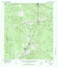
Other maps of this area

1927 · Lufkin 4-c
USGS Topo · 1:24,000

1932 · Manning
USGS Topo · 1:62,500

1953 · Palestine
USGS Topo · 1:250,000

1954 · Beaumont
USGS Topo · 1:250,000

1955 · Camden
USGS Topo · 1:62,500

1955 · New Willard
USGS Topo · 1:62,500

1957 · Beaumont
USGS Topo · 1:250,000

1957 · Palestine
USGS Topo · 1:250,000

1958 · Livingston
USGS Topo · 1:62,500

1958 · Segno
USGS Topo · 1:62,500