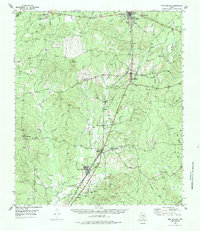
1955 Map of New Willard
USGS Topo · Published 1984About this map
Moscow serves as a prominent focal point in this portion of Polk County, where the Texas and New Orleans railroad intersects the landscape. This mid-century survey illustrates the rural connectivity of East Texas, anchored by the Southern Pacific Railroad as it passes through New Willard, Leggett, and Corrigan. The settlement pattern follows these rail lines and established thoroughfares, punctuated by community landmarks such as Moscow Sch and several country churches including Bold Springs Ch and Oakdale Ch.
Find a feature on this map
61 named features on this map. Tap any name to fly to it.
Don’t see what you’re looking for? This feature index may not catch every label — zoom into the map to look around manually.
Map Details
Editions of this 1955 New Willard Map
3 editions found
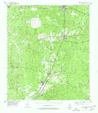
Other maps of this area

1927 · Lufkin 4-c
USGS Topo · 1:24,000

1932 · Manning
USGS Topo · 1:62,500

1953 · Palestine
USGS Topo · 1:250,000

1954 · Beaumont
USGS Topo · 1:250,000

1955 · Camden
USGS Topo · 1:62,500

1955 · New Willard
USGS Topo · 1:62,500

1957 · Beaumont
USGS Topo · 1:250,000

1957 · Palestine
USGS Topo · 1:250,000

1958 · Livingston
USGS Topo · 1:62,500

1958 · Segno
USGS Topo · 1:62,500