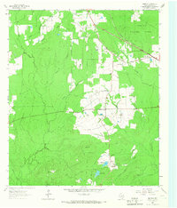
1963 Map of Manning
USGS Topo · Published 1966About this map
The Manning community and its associated Millpond anchor this East Texas landscape in the early 1960s, reflecting a history of timber and transport in the Piney Woods. The settlement is connected to the surrounding countryside by an extensive network of decommissioned rail lines, marked as Old RR Grade and Old Railroad Grade, which once served the regional logging industry. To the north, the Angelina National Forest encompasses a large portion of the terrain, while the rural settlement of Shawnee Prairie sits centrally near several local landmarks.
Find a feature on this map
28 named features on this map. Tap any name to fly to it.
Don’t see what you’re looking for? This feature index may not catch every label — zoom into the map to look around manually.
Map Details
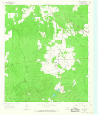
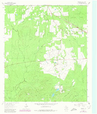
Editions of this 1963 Manning Map
Other maps of this area

1927 · Lufkin 4-c
USGS Topo · 1:24,000

1928 · Zavalla 3-c
USGS Topo · 1:24,000

1928 · Lufkin 4-d
USGS Topo · 1:24,000

1931 · Zavalla
USGS Topo · 1:62,500

1932 · Manning
USGS Topo · 1:62,500

1949 · Lufkin
USGS Topo · 1:62,500

1949 · Lufkin
USGS Topo · 1:24,000

1949 · Huntington
USGS Topo · 1:24,000

1950 · Lufkin
USGS Topo · 1:24,000

1950 · Huntington
USGS Topo · 1:24,000