Loading...
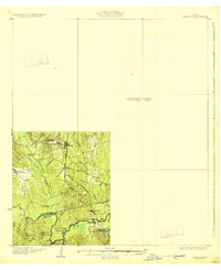
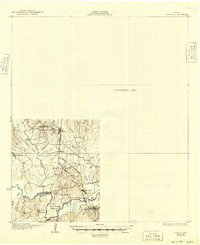
Loading map...1931 Map of Zavalla
USGS Topo · Published 1931About this map
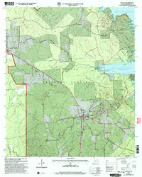
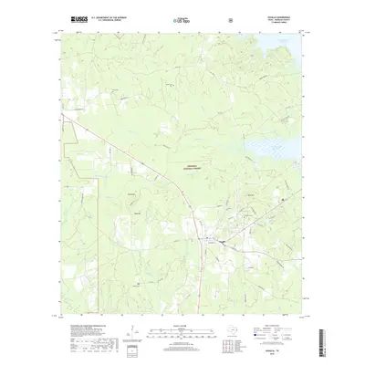
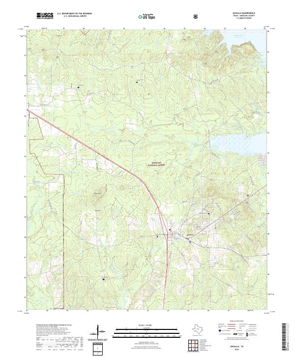
Rockland Ferry and the Beaumont Southern Pacific railroad serve as vital crossings along the southern boundary of this partially surveyed area in East Texas. The landscape is defined by the winding course of the Neches River, where it forms the prominent Bess Bend and flows past Alligator Lake. To the north, the terrain transitions into a network of creek drainages including Turpentine Creek, Shawnee Creek, and Cypress Creek, punctuated by small rural settlements and schoolhouses.
Find a feature on this map
30 named features on this map. Tap any name to fly to it.
Don’t see what you’re looking for? This feature index may not catch every label — zoom into the map to look around manually.
Map Details
Date Portrayed1931
Date Published1931
PublisherU.S. Geological Survey
Map TypeTopographic
Scale1:62,500
Physical Dimensions17 x 20.9 inches
Editions of this 1931 Zavalla Map
2 editions found
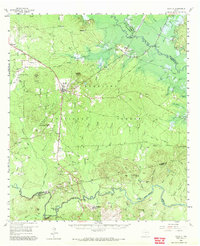
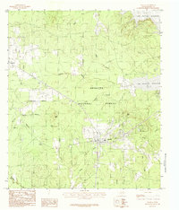
Historical Maps of Zavalla Through Time
9 maps found

Featured Locations
Source Details
SourceU.S. Geological Survey
CopyrightPublic Domain