1984 Map of Zavalla
USGS Topo · Published 1984About this map
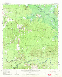
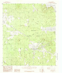
Zavalla and the surrounding woodlands of the Angelina National Forest define this landscape in the mid-1980s. The settlement pattern shows a concentration of structures in the town center, giving way to the wooded ridges and creek bottoms that characterize East Texas. To the northeast, the sprawling waters of the Sam Rayburn Reservoir dominate the terrain, reflecting the significant hydrological changes to the region's river systems in the late 20th century. The map details a dense network of watercourses including Hanks Creek, Shawnee Creek, and Sandy Creek, alongside distinct topographic features like Pophers and Moss Hill. Local history and genealogy researchers can find specific landmarks such as Blue Spring and Bald Hill, which provide a geographic context for the area's rural development and the established boundaries of the national forest.
Find a feature on this map
22 named features on this map. Tap any name to fly to it.
Don’t see what you’re looking for? This feature index may not catch every label — zoom into the map to look around manually.
Map Details
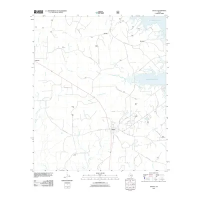
Editions of this 1984 Zavalla Map
This is the sole edition of this map. No revisions or reprints were ever made.
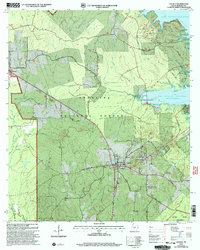
Historical Maps of Zavalla Through Time
9 maps found