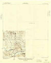
1931 Map of Zavalla
USGS Topo · Published 1949About this map
The Angelina National Forest covers the lower half of this survey, where the convergence of Angelina, Tyler, and Jasper counties meets at the Neches River. Timber and transport drive the local economy during the late 1920s, evidenced by the Timber RR and the Southern Pacific lines threading through the river valley. The landscape is dotted with small community centers like Nancy, Dolan, and Martin, along with rural educational outposts including Sulphur Sch and Saron Sch.
Find a feature on this map
34 named features on this map. Tap any name to fly to it.
Don’t see what you’re looking for? This feature index may not catch every label — zoom into the map to look around manually.
Map Details
Editions of this 1931 Zavalla Map
2 editions found
Other maps of this area

1928 · Zavalla 3-c
USGS Topo · 1:24,000

1928 · Lufkin 4-d
USGS Topo · 1:24,000

1931 · Zavalla
USGS Topo · 1:62,500

1932 · Manning
USGS Topo · 1:62,500

1949 · Lufkin
USGS Topo · 1:62,500

1949 · Huntington
USGS Topo · 1:24,000

1950 · Huntington
USGS Topo · 1:24,000

1953 · Palestine
USGS Topo · 1:250,000

1954 · Beaumont
USGS Topo · 1:250,000

1955 · Woodville
USGS Topo · 1:62,500