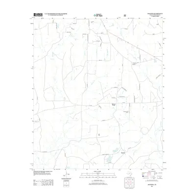
2013 Map of Manning
USGS Topo · Published 2013About this map
Manning and the surrounding piney woods of Angelina County are defined by a complex network of creeks including Buck Cr, Caney Cr, and Shawnee Cr. The landscape is a mix of small settlements and industrial water features, most notably the Manning Mill Ponds and Manning Club Lake south of the main townsite. This topography reflects the timber-driven economy that has long shaped this part of East Texas.
Find a feature on this map
61 named features on this map. Tap any name to fly to it.
Don’t see what you’re looking for? This feature index may not catch every label — zoom into the map to look around manually.
Map Details
Editions of this 2013 Manning Map
This is the sole edition of this map. No revisions or reprints were ever made.
Other maps of this area

1927 · Lufkin 4-c
USGS Topo · 1:24,000

1928 · Zavalla 3-c
USGS Topo · 1:24,000

1928 · Lufkin 4-d
USGS Topo · 1:24,000

1931 · Zavalla
USGS Topo · 1:62,500

1932 · Manning
USGS Topo · 1:62,500

1949 · Lufkin
USGS Topo · 1:62,500

1949 · Lufkin
USGS Topo · 1:24,000

1949 · Huntington
USGS Topo · 1:24,000

1950 · Lufkin
USGS Topo · 1:24,000

1950 · Huntington
USGS Topo · 1:24,000