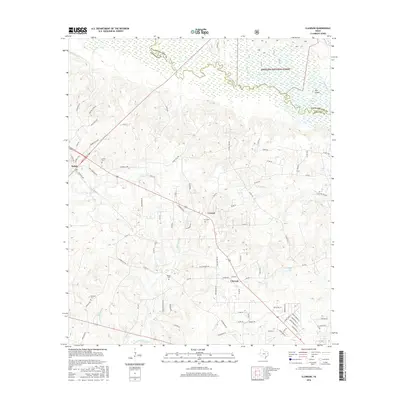
2016 Map of Clawson
USGS Topo · Published 2016About this map
The Angelina National Forest dominates the northern reaches of this landscape, where the Angelina River meanders along the boundary between Angelina and Nacogdoches counties. This riparian corridor is defined by complex waterways, including Bayou Loco and the distinctive landform known as The Island. The settlement pattern follows the local road network through the timber-rich terrain, connecting the communities of Pollok, Central, and Clawson. Genealogists will find several well-preserved rural burial grounds throughout the area, such as Pollok Cem, Gann Cem, Poskey Cem, and Newman Cem. The map illustrates a region where local life is closely tied to the creeks and bayous, with landmarks like Flagline Station and Bodan Cr punctuating the wooded hillsides of East Texas.
Find a feature on this map
92 named features on this map. Tap any name to fly to it.
Don’t see what you’re looking for? This feature index may not catch every label — zoom into the map to look around manually.
Map Details
Editions of this 2016 Clawson Map
This is the sole edition of this map. No revisions or reprints were ever made.
Other maps of this area

1949 · Lufkin
USGS Topo · 1:62,500

1949 · Clawson
USGS Topo · 1:24,000

1949 · Lufkin
USGS Topo · 1:24,000

1949 · Keltys
USGS Topo · 1:24,000

1950 · Keltys
USGS Topo · 1:24,000

1950 · Lufkin
USGS Topo · 1:24,000

1950 · Clawson
USGS Topo · 1:24,000

1950 · Redland
USGS Topo · 1:24,000

1951 · Wells
USGS Topo · 1:24,000

1951 · Wells SW
USGS Topo · 1:24,000