
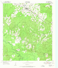
1951 Map of Wells
USGS Topo · Published 1951About this map
The town of Wells serves as the primary hub of this East Texas survey, situated along the St Louis Southwestern Railroad. The surrounding landscape is defined by the convergence of the Davy Crockett National Forest and Angelina National Forest, where the Neches River forms a major waterway through the Piney Woods. Smaller settlements and rural landmarks like Redtown and Bodan Ch highlight the era's local community structure.
Find a feature on this map
28 named features on this map. Tap any name to fly to it.
Don’t see what you’re looking for? This feature index may not catch every label — zoom into the map to look around manually.
Map Details
Editions of this 1951 Wells Map
Other maps of this area

1946 · Alto
USGS Topo · 1:62,500

1949 · Clawson
USGS Topo · 1:24,000

1949 · Keltys
USGS Topo · 1:24,000

1950 · Keltys
USGS Topo · 1:24,000

1950 · Clawson
USGS Topo · 1:24,000

1950 · Kennard NE
USGS Topo · 1:24,000

1950 · Centralia
USGS Topo · 1:24,000

1951 · Wells SW
USGS Topo · 1:24,000

1951 · Centralia
USGS Topo · 1:24,000

1951 · Kennard NE
USGS Topo · 1:24,000