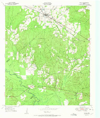
1951 Map of Wells
USGS Topo · Published 1951About this map
Wells serves as the primary hub of this East Texas landscape, where the St Louis Southwestern railroad cuts a diagonal line through the pine-laden terrain of Cherokee County. The map captures a transition point where local industry and natural resources converge, notably where the Old Grade Railroad traces a path through the dense vegetation north of the Angelina River.
Find a feature on this map
27 named features on this map. Tap any name to fly to it.
Don’t see what you’re looking for? This feature index may not catch every label — zoom into the map to look around manually.
Map Details
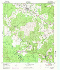
Editions of this 1951 Wells Map
Other maps of this area

1946 · Alto
USGS Topo · 1:62,500

1949 · Clawson
USGS Topo · 1:24,000

1949 · Keltys
USGS Topo · 1:24,000

1950 · Keltys
USGS Topo · 1:24,000

1950 · Clawson
USGS Topo · 1:24,000

1950 · Kennard NE
USGS Topo · 1:24,000

1950 · Centralia
USGS Topo · 1:24,000

1951 · Wells
USGS Topo · 1:24,000

1951 · Wells SW
USGS Topo · 1:24,000

1951 · Centralia
USGS Topo · 1:24,000