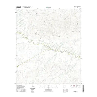
2016 Map of Wolf Hill
USGS Topo · Published 2016About this map
The Neches River winds through a dense network of creek drainages at the convergence of Angelina, Polk, and Tyler counties. This landscape is defined by its water, where significant tributaries like Piney Cr, Banks Cr, and Sandy Br feed into the river's meandering course. The terrain rises to the namesake Wolf Hill in the northeast, a notable elevation in an area otherwise dominated by the bottomlands of the Neches basin.
Find a feature on this map
52 named features on this map. Tap any name to fly to it.
Don’t see what you’re looking for? This feature index may not catch every label — zoom into the map to look around manually.
Map Details
Editions of this 2016 Wolf Hill Map
This is the sole edition of this map. No revisions or reprints were ever made.
Other maps of this area

1927 · Lufkin 4-c
USGS Topo · 1:24,000

1928 · Zavalla 3-c
USGS Topo · 1:24,000

1928 · Lufkin 4-d
USGS Topo · 1:24,000

1931 · Zavalla
USGS Topo · 1:62,500

1932 · Manning
USGS Topo · 1:62,500

1953 · Palestine
USGS Topo · 1:250,000

1954 · Beaumont
USGS Topo · 1:250,000

1955 · Woodville
USGS Topo · 1:62,500

1955 · Camden
USGS Topo · 1:62,500

1957 · Beaumont
USGS Topo · 1:250,000