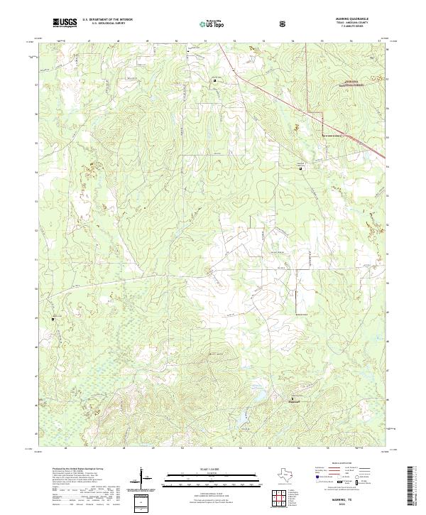
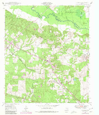
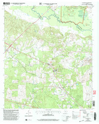
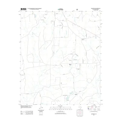
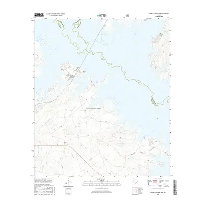
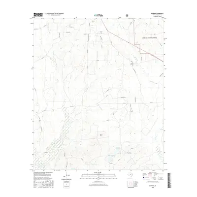
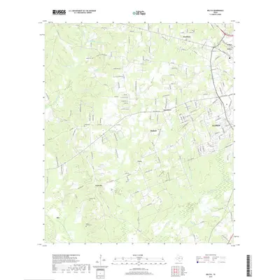
2022 Map of Manning
USGS Topo · Published 2022About this map
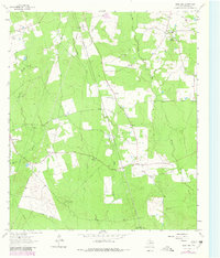
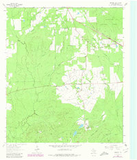
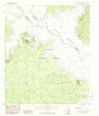
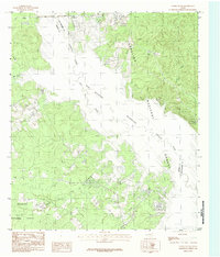
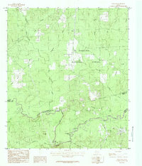
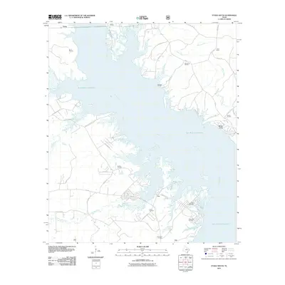
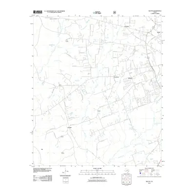
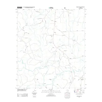
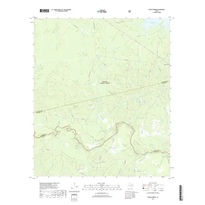
The timberlands and creek bottoms of southern Angelina County define this landscape, anchored by the settlement of Manning. Once a thriving company lumber town, the community's legacy is visible through the Manning Mill Ponds, Manning Lake, and the nearby Manning Cem. The terrain is deeply etched by a network of waterways including Buck Cr, Caney Cr, and Shawnee Cr, which flow through the western reaches of the Angelina National Forest.
Find a feature on this map
62 named features on this map. Tap any name to fly to it.
Don’t see what you’re looking for? This feature index may not catch every label — zoom into the map to look around manually.
Map Details
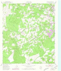
Editions of this 2022 Manning Map
This is the sole edition of this map. No revisions or reprints were ever made.
Historical Maps of Manning Through Time
64 maps found
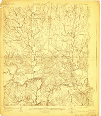
1928 Lufkin 4-d
Angelina County, TX
1928 Zavalla 3-c
Angelina County, TX
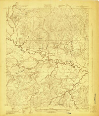
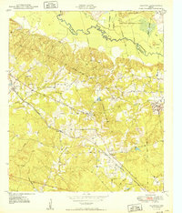
1932 Manning
Angelina County, TX
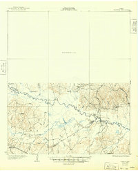
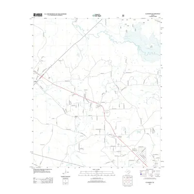
1949 Clawson
Angelina County, TX
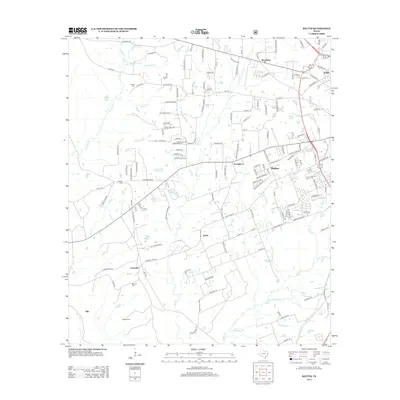
1949 Keltys
Angelina County, TX
1950 Clawson
Angelina County, TX
1950 Keltys
Angelina County, TX
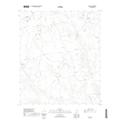
1963 Bald Hill
Angelina County, TX
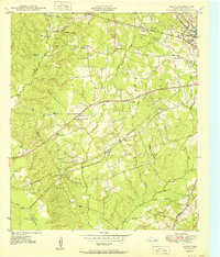
1963 Manning
Angelina County, TX
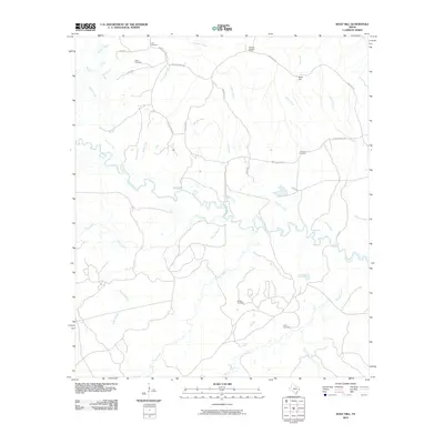
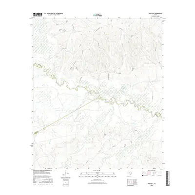
1963 Wolf Hill
Angelina County, TX
1984 Boykin Spring
Angelina County, TX
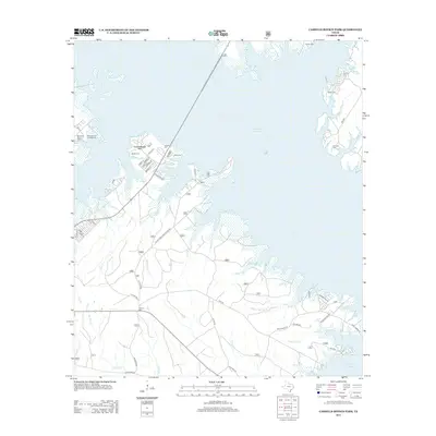
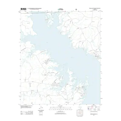
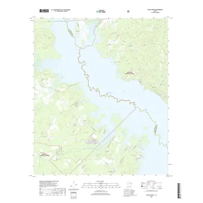
1984 Cassells-Boykin Park
Angelina County, TX
1984 Etoile South
Angelina County, TX
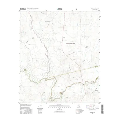
1984 Rockland
Angelina County, TX
2003 Cassells-Boykin Park
Angelina County, TX
2003 Clawson
Angelina County, TX
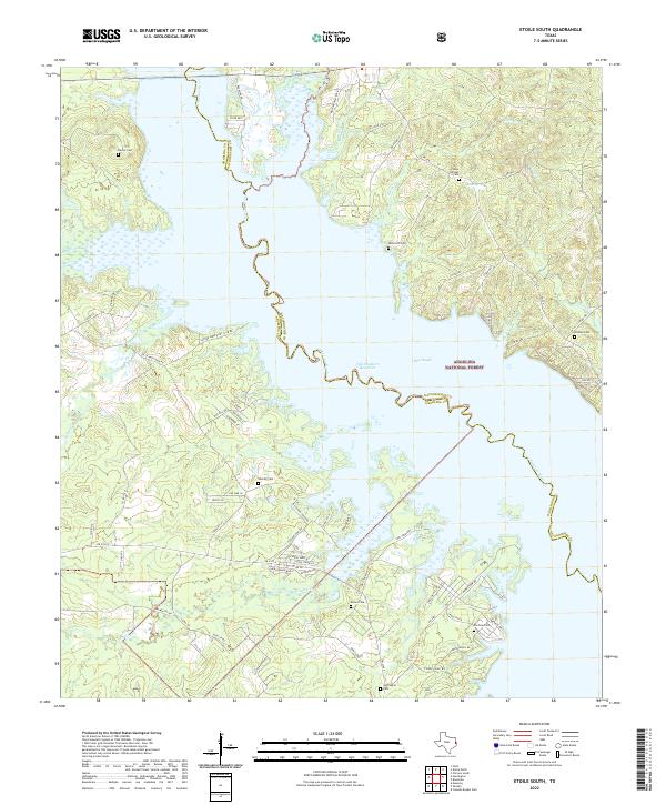
2003 Etoile South
Angelina County, TX
2003 Manning
Angelina County, TX
2003 Rockland
Angelina County, TX
2010 Bald Hill
Angelina County, TX
2010 Boykin Spring
Angelina County, TX
2010 Cassells-Boykin Park
Angelina County, TX
2010 Clawson
Angelina County, TX
2010 Etoile South
Angelina County, TX
2010 Keltys
Angelina County, TX
2010 Manning
Angelina County, TX
2010 Rockland
Angelina County, TX
2010 Wolf Hill
Angelina County, TX
2013 Bald Hill
Angelina County, TX
2013 Boykin Spring
Angelina County, TX
2013 Cassells-Boykin Park
Angelina County, TX
2013 Clawson
Angelina County, TX
2013 Etoile South
Angelina County, TX
2013 Keltys
Angelina County, TX
2013 Manning
Angelina County, TX
2013 Rockland
Angelina County, TX
2013 Wolf Hill
Angelina County, TX
2016 Bald Hill
Angelina County, TX
2016 Boykin Spring
Angelina County, TX
2016 Cassells-Boykin Park
Angelina County, TX
2016 Clawson
Angelina County, TX
2016 Etoile South
Angelina County, TX
2016 Keltys
Angelina County, TX
2016 Manning
Angelina County, TX
2016 Rockland
Angelina County, TX
2016 Wolf Hill
Angelina County, TX
2019 Bald Hill
Angelina County, TX
2019 Boykin Spring
Angelina County, TX
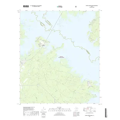
2019 Cassells-Boykin Park
Angelina County, TX
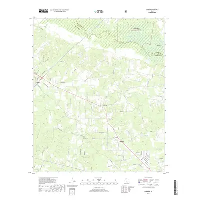
2019 Clawson
Angelina County, TX
2019 Etoile South
Angelina County, TX
2019 Keltys
Angelina County, TX
2019 Manning
Angelina County, TX
2019 Rockland
Angelina County, TX
2019 Wolf Hill
Angelina County, TX
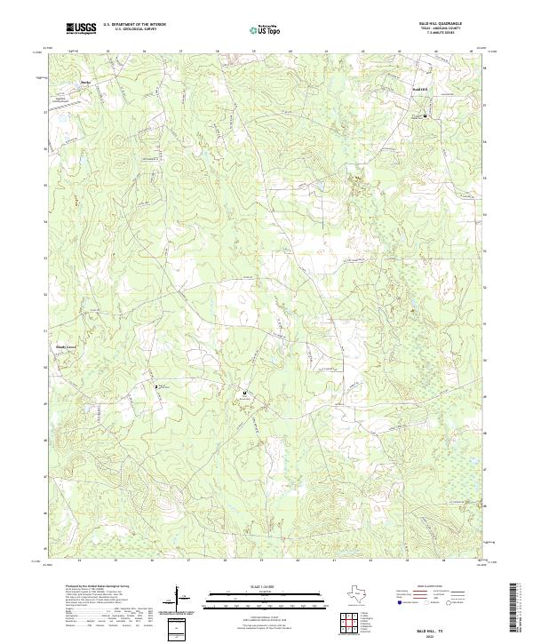
2022 Bald Hill
Angelina County, TX
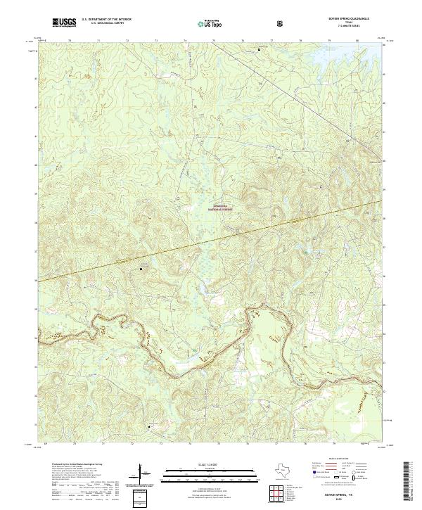
2022 Boykin Spring
Angelina County, TX
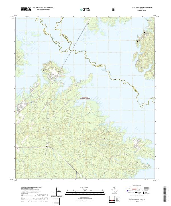
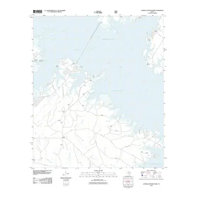
2022 Cassells-Boykin Park
Angelina County, TX
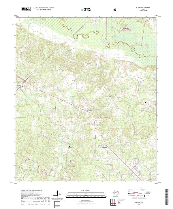
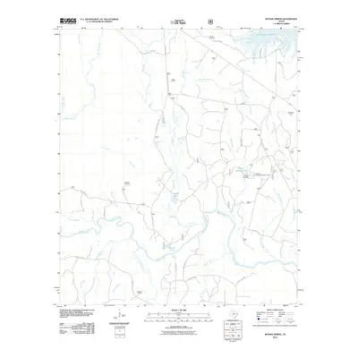
2022 Clawson
Angelina County, TX
2022 Etoile South
Angelina County, TX
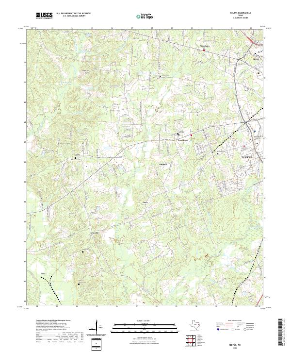
2022 Keltys
Angelina County, TX
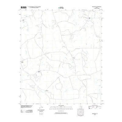
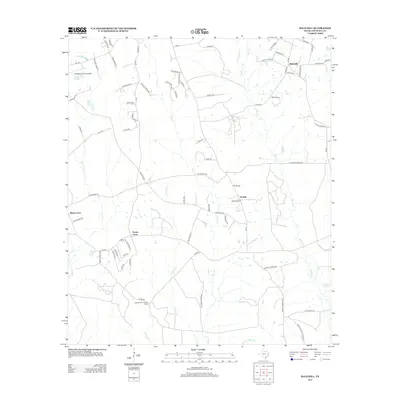
2022 Manning
Angelina County, TX
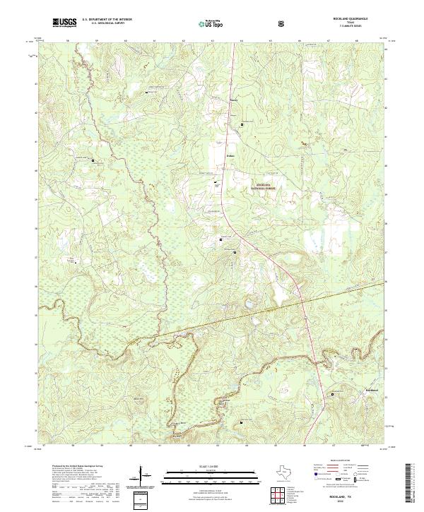
2022 Rockland
Angelina County, TX
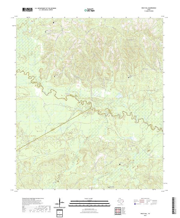
2022 Wolf Hill
Angelina County, TX