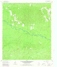
1963 Map of Wolf Hill
USGS Topo · Published 1980About this map
The Neches River meanders through this heavily forested borderland between Angelina, Polk, and Tyler counties, serving as a primary geographical divider. In the early 1960s, the landscape was defined by an extensive network of creek systems including Biloxi Creek, Johnson Creek, and Loggins Creek, interspersed with small family burial grounds and timber-related infrastructure. The prominence of the Wolf Hill Lookout Tower at Wolf Hill indicates the area's importance for forest management and fire observation during this era.
Find a feature on this map
34 named features on this map. Tap any name to fly to it.
Don’t see what you’re looking for? This feature index may not catch every label — zoom into the map to look around manually.
Map Details
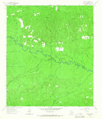
Editions of this 1963 Wolf Hill Map
2 editions found
Other maps of this area

1927 · Lufkin 4-c
USGS Topo · 1:24,000

1928 · Zavalla 3-c
USGS Topo · 1:24,000

1928 · Lufkin 4-d
USGS Topo · 1:24,000

1931 · Zavalla
USGS Topo · 1:62,500

1932 · Manning
USGS Topo · 1:62,500

1953 · Palestine
USGS Topo · 1:250,000

1954 · Beaumont
USGS Topo · 1:250,000

1955 · Woodville
USGS Topo · 1:62,500

1955 · Camden
USGS Topo · 1:62,500

1957 · Beaumont
USGS Topo · 1:250,000