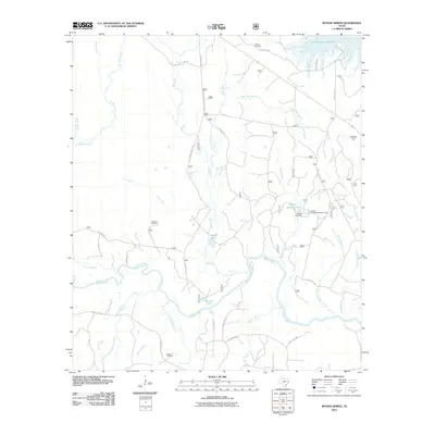
2010 Map of Boykin Spring
USGS Topo · Published 2010About this map
The Neches River winds through the heart of this East Texas landscape, defining a terrain of creeks, branches, and springs that has long supported local communities and recreation. In the northeast, the sprawling reach of the Sam Rayburn Reservoir meets the forested uplands near Cyclone Hill. The map highlights several quiet spots of local significance, including the Boykin Springs Recreation Area centered around Boykin Spring Lake and the Boykin Lake Dam.
Find a feature on this map
49 named features on this map. Tap any name to fly to it.
Don’t see what you’re looking for? This feature index may not catch every label — zoom into the map to look around manually.
Map Details
Editions of this 2010 Boykin Spring Map
This is the sole edition of this map. No revisions or reprints were ever made.
Other maps of this area

1928 · Zavalla 3-c
USGS Topo · 1:24,000

1931 · Zavalla
USGS Topo · 1:62,500

1953 · Palestine
USGS Topo · 1:250,000

1954 · Beaumont
USGS Topo · 1:250,000

1955 · Woodville
USGS Topo · 1:62,500

1955 · Curtis
USGS Topo · 1:62,500

1957 · Beaumont
USGS Topo · 1:250,000

1957 · Palestine
USGS Topo · 1:250,000

1958 · Zavalla
USGS Topo · 1:62,500

1958 · Mc Gee Bend
USGS Topo · 1:62,500